
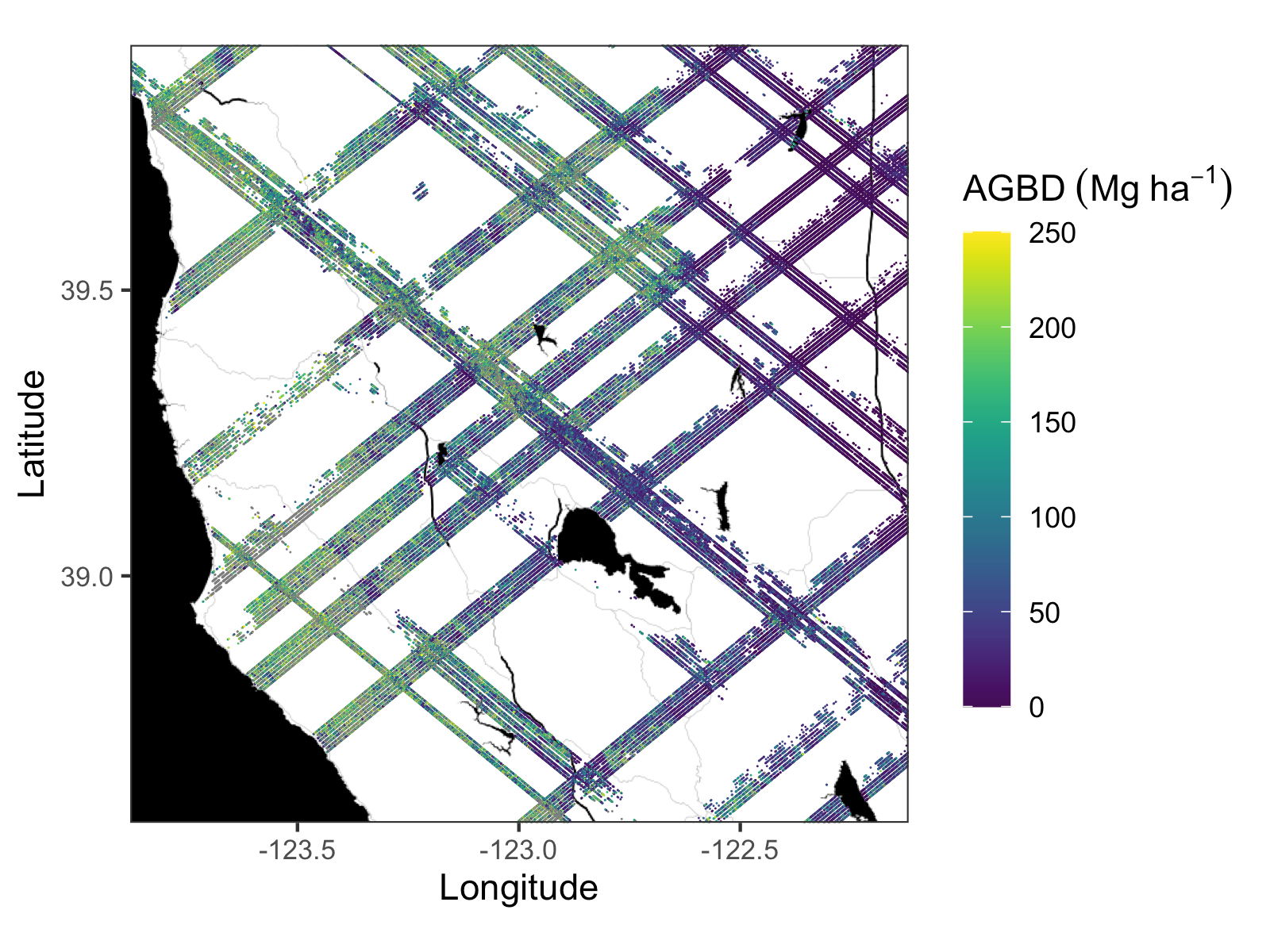
Version 1 of the GEDI Level 4A data has just been released at the ORNL DAAC, providing estimates of the aboveground biomass density (AGBD, in Mg/ha) and associated uncertainty within each sampled geolocated laser footprint.
GEDI L4A Footprint Level Aboveground Biomass Density, Version 1
GEDI provides globally consistent measurements and algorithms to help overcome uncertainties in the AGBD estimates. The models used were developed with field estimates of AGBD and colocated with simulated GEDI waveforms from discrete-return airborne lidar and used a quality-filtered calibration dataset that contains 8,587 simulated waveforms in 21 countries.
The Global Ecosystem Dynamics Investigation (GEDI) produces high resolution laser ranging observations of the 3D structure of the Earth. GEDI’s precise measurements of forest canopy height, canopy vertical structure, and surface elevation greatly advance our ability to characterize important carbon and water cycling processes, biodiversity, and habitat. GEDI was funded as a NASA Earth Ventures Instrument (EVI) mission. It was launched to the International Space Station in December 2018 and completed initial orbit checkout in April 2019.
Footprint-level Level 1B (geolocated waveform), Level 2A-, and Level 2B (canopy height and profile metrics) data from GEDI are available from the Land Processes DAAC. Level 3 gridded canopy and land surface metrics and Level 4A footprint-level aboveground biomass density estimates are now available from ORNL DAAC. Gridded aboveground biomass estimates (L4B) will be available later in calendar year 2021.
Citation (s): Dubayah, R.O., J. Armston, J.R. Kellner, L. Duncanson, S.P. Healey, P.L. Patterson, S. Hancock, H. Tang, M.A. Hofton, J.B. Blair, and S.B. Luthcke. 2021. GEDI L4A Footprint Level Aboveground Biomass Density, Version 1. ORNL DAAC, Oak Ridge, Tennessee, USA. https://doi.org/10.3334/ORNLDAAC/1907
Dubayah, R.O., S.B. Luthcke, T.J. Sabaka, J.B. Nicholas, S. Preaux, and M.A. Hofton. 2021. GEDI L3 Gridded Land Surface Metrics, Version 1. ORNL DAAC, Oak Ridge, Tennessee, USA. https://doi.org/10.3334/ORNLDAAC/1865