
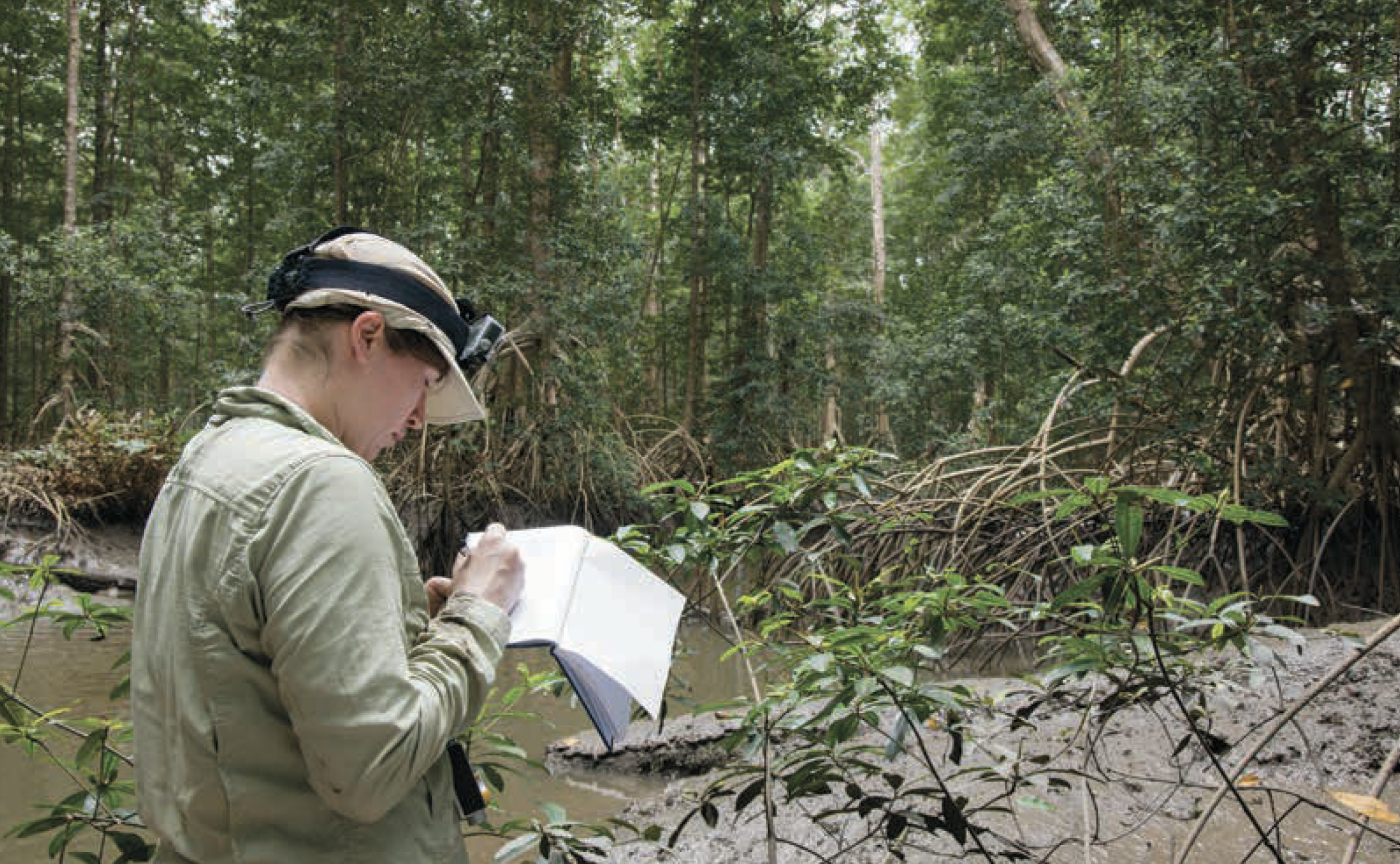
The AfriSAR mission was an airborne campaign that collected radar and field measurements of tropical forests in Gabon, West Africa. The mission was a NASA collaboration with the European Space Agency (ESA) and the Gabonese Space Agency. During the 2016 AfriSAR campaign, NASA UAVSAR, and LVIS instruments collected data that will be used to derive forest canopy height, structure, and topography. The AfriSAR data is a precursor to upcoming spaceborne missions that examine the role of forests in Earth's carbon cycle.
The first dataset from AfriSAR is now available:
AfriSAR: Rainforest Canopy Height Derived from PolInSAR and Lidar Data, Gabon
This dataset provides estimates of forest canopy height and canopy height uncertainty for study areas in the Pongara National Park and the Lope National Park, Gabon. Two canopy height products are included: 1) Canopy height was derived from multi-baseline Polarimetric Interferometric Synthetic Aperture Radar (PolInSAR) data using an inversion of the random volume over ground (RVoG) model and Kapok, an open source Python library. 2) Canopy height was derived from a fusion of PolInSAR and Land, Vegetation, and Ice Sensor (LVIS) Lidar data. This dataset also includes various intermediate parameters of the PolInSAR data (including radar backscatter, coherence, and viewing and terrain geometry) which provide additional insight into the input data used to invert the RVoG model and accuracy of the canopy height estimates.
Data Citation:
Denbina, M., M. Simard, B.V. Riel, B.P. Hawkins, and N. Pinto. 2018. AfriSAR: Rainforest Canopy Height Derived from PolInSAR and Lidar Data, Gabon. ORNL DAAC, Oak Ridge, Tennessee, USA. https://doi.org/10.3334/ORNLDAAC/1589
Data Center: ORNL DAAC
Sponsor: NASA EOSDIS
