
CMS: LiDAR Data for Forested Areas in Paragominas, Para, Brazil, 2012-2014
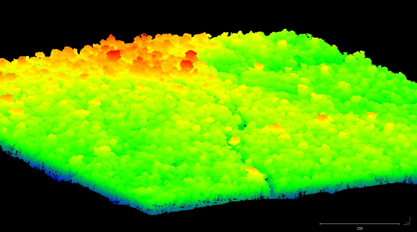
This data set provides raw LiDAR point cloud data and derived Digital Terrain Models (DTMs) for five forested areas in the municipality of Paragominas, Para, Brazil, for the years 2012, 2013, and 2014. Data are included for two areas in Paragominas for 2013 and 2014, two areas in the Fazenda Cauaxi for 2012 and 2014, and in Fazenda Andiroba for 2014. Shapefiles showing the LiDAR/DTM coverage areas are also provided for each of the areas surveyed.
Data Acknowledgements
Data authors: dos-Santos, M.N., and M.M. Keller.
Data Set DOI: http://dx.doi.org/10.3334/ORNLDAAC/1302
Data center: ORNL DAAC
Sponsor: NASA EOSDIS
