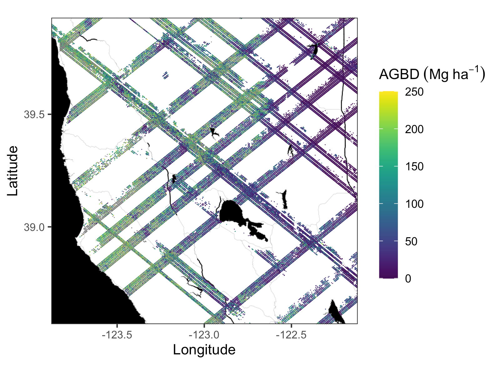
Two new learning resources are available to assist users in using the recently released GEDI L4A Footprint Level Aboveground Biomass Density, Version 1 dataset:
These Jupyter Notebook tutorials illustrate how to use the NASA Common Metadata Repository (CMR) Application Programming Interface (API) to get granule (file) names for user specified time period and area of interest, display the geometry of the selected granules, subset the dataset, and download the data in user selected format.
If your like these resources, you might be interested in others available from our Learning Resources Page.
Citation: Dubayah, R.O., J. Armston, J.R. Kellner, L. Duncanson, S.P. Healey, P.L. Patterson, S. Hancock, H. Tang, M.A. Hofton, J.B. Blair, and S.B. Luthcke. 2021. GEDI L4A Footprint Level Aboveground Biomass Density, Version 1. ORNL DAAC, Oak Ridge, Tennessee, USA. https://doi.org/10.3334/ORNLDAAC/1907

