
AirMOSS: L2/3 Volumetric Soil Moisture Profiles Derived From Radar, 2012-2015
This dataset was recently revised and 54 data files were updated with corrections to the version number. To access the revised dataset, please visit https://doi.org/10.3334/ORNLDAAC/1418.
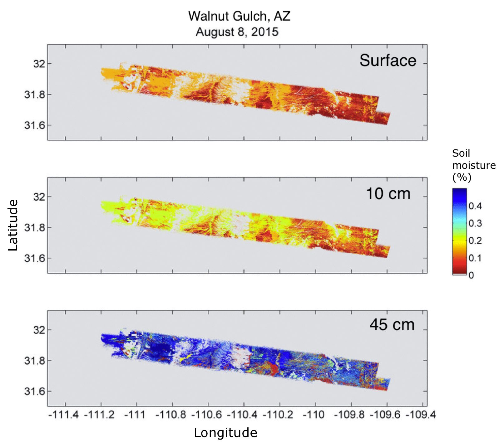
The dataset provides level 2/3 root zone soil moisture (RZSM) estimates at multiple depths at 90-m spatial resolution from the Airborne Microwave Observatory of Subcanopy and Subsurface (AirMOSS) radar instrument collected over ten sites across North America. AirMOSS produces estimates of RZSM with data from a P-band synthetic aperture radar (SAR) flown on a NASA Gulfstream-III aircraft. The resulting soil moisture estimates capture the effects of gradients of soil, topography, and vegetation heterogeneity over an area of approximately 100km x 25km at each of the study sites. AirMOSS flight campaigns took place at least biannually from 2012 to 2015 at each site.
A full list of AirMOSS data products is available at https://airmoss.ornl.gov/dataproducts.html
Data Citation:
Moghaddam, M., A. Tabatabaeenejad, R.H. Chen, S.S. Saatchi, S. Jaruwatanadilok, M. Burgin, X. Duan, and M.L. Truong-Loi. 2018. AirMOSS: L2/3 Volumetric Soil Moisture Profiles Derived From Radar, 2012-2015. ORNL DAAC, Oak Ridge, Tennessee, USA. https://doi.org/10.3334/ORNLDAAC/1418
Data center: ORNL DAAC
Sponsor: NASA EOSDIS
