
Canopy Height and Biomass from LiDAR Surveys at La Selva, Costa Rica, 1998 and 2005
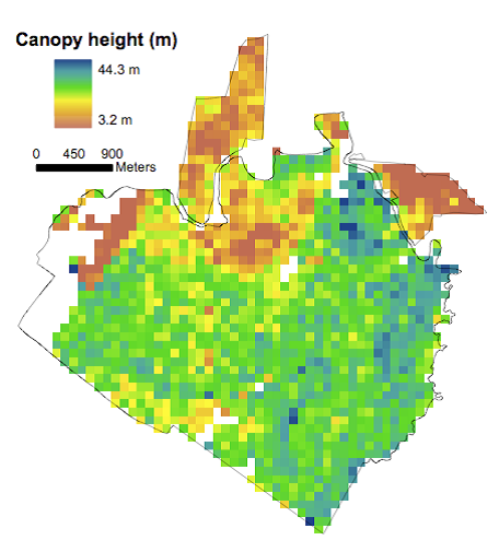
This data set contains land-use, canopy height, and aboveground carbon estimates derived from LiDAR data collected at La Selva Biological Station in Costa Rica in March 1998 and March 2005. The data are provided as GeoTIFFs (*.tif) of 100-m (1-ha) resolution. A look-up table is provided that relates modeled changes in height to changes in stand characteristics (including age and carbon content). The data were used to test the accuracy and scale-dependency of high-resolution predictions of vegetation dynamics and carbon flux by the Ecosystem Demography (ED). The ED model is an individual-based terrestrial ecosystem model that predicts both ecosystem structure and corresponding ecosystem fluxes from climate, soil, and land-use inputs.
Data Acknowledgements
Data authors: Hurtt, G.C., R.Q. Thomas, J. Fisk, R.O. Dubayah, and S.L. Sheldon.
Data Set DOI: http://dx.doi.org/10.3334/ORNLDAAC/1312
Data center: ORNL DAAC
Sponsor: NASA EOSDIS
 resolution at La Selva Biological Station in Costa Rica.")