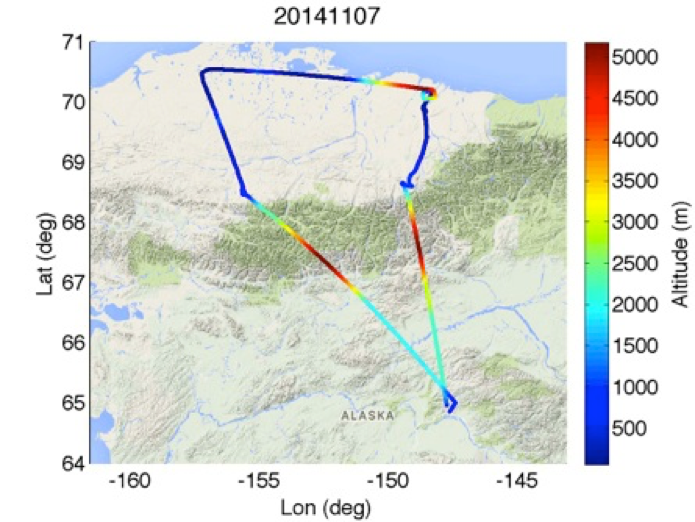
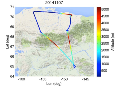
CARVE: L1 Daily Flight Path Geolocation and Aircraft Position Data, Alaska, 2012-2015
This data set provides high-frequency geolocation, time, height, pitch, roll, and heading information for the C-23 Sherpa aircraft during airborne campaigns over the Alaskan and Canadian Arctic as part of the Carbon in Arctic Reservoirs Vulnerability Experiment (CARVE). The data were collected in situ using the Digital Air Data System (DADS) onboard the aircraft and are presented at 1-second intervals throughout each flight. Flight campaigns took place from 2012 to 2015 between the months of March and November to enable investigation of both seasonal and inter-annual variability in atmospheric gas content. The measurements included in this data set are useful for matching aircraft position with the scientific data collected by other CARVE airborne instruments.
Data Acknowledgements
Data Authors: CARVE Science Team
Data Set DOI: http://dx.doi.org/10.3334/ORNLDAAC/1425
Data center: ORNL DAAC
Sponsor: NASA EOSDIS


