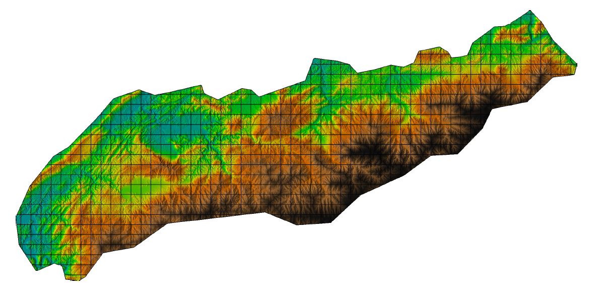
LiDAR-derived Vegetation Canopy Structure, Great Smoky Mountains National Park, 2011
This data set provides multiple-return LiDAR-derived vegetation canopy structure and their spatial distribution at 30-meter spatial resolution for the Tennessee part of the Great Smoky Mountains National Park (GSMNP). Canopy characteristics were analyzed using high resolution three-dimensional point cloud data sets gathered between February and April 2011. Vegetation types were mapped by grouping areas of similar canopy structure. The map was compared and validated against existing vegetation maps for the Park.
This LiDAR based vegetation canopy data set incorporates three-dimensional canopy structure, yielding information not available in two-dimensional images of the landscape provided by most of the traditional multi-spectral remote sensing platforms. These three-dimensional measurements provide a better representation of vegetation structure and distribution within the diverse ecosystem of the GSMNP.
Data Acknowledgements
Data authors: Kumar, J., J. Weiner, W.W. Hargrove, S.P. Norman, F.M. Hoffman, and D. Newcomb.
Data Set DOI: http://dx.doi.org/10.3334/ORNLDAAC/1286
Data center: ORNL DAAC
Sponsor: NASA EOSDIS


