
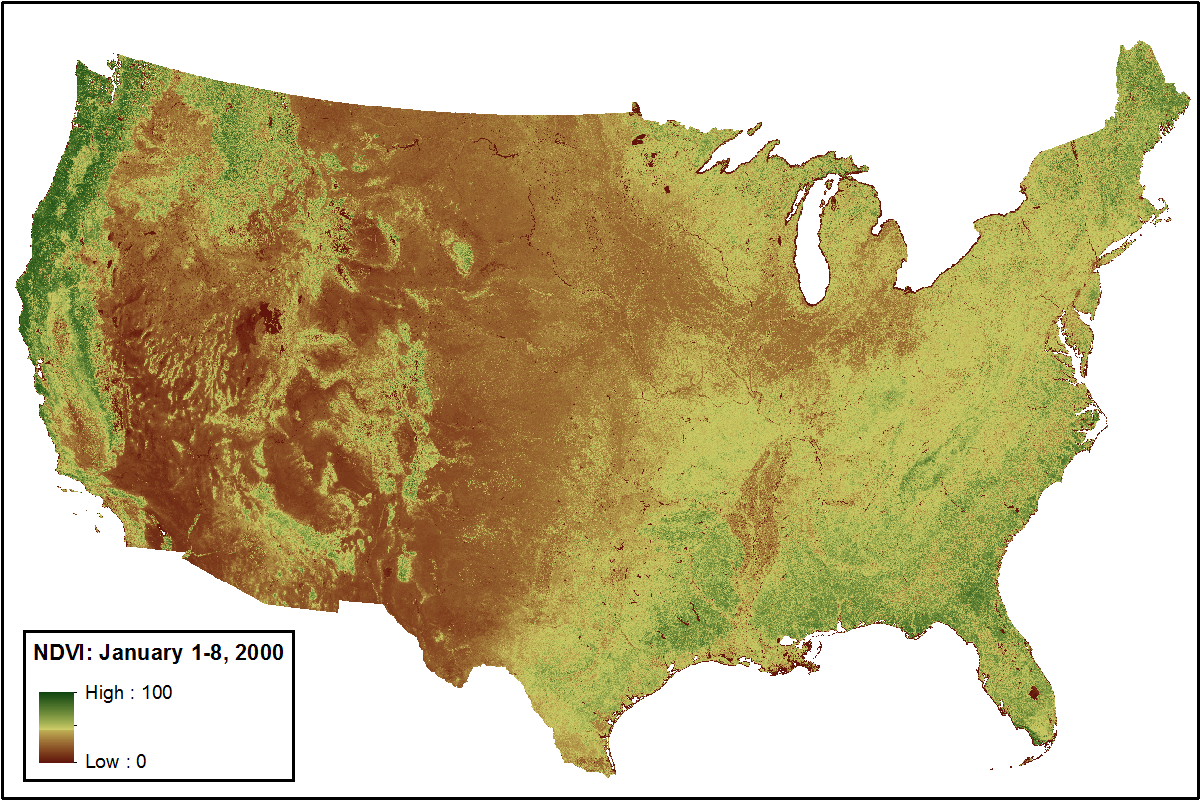
MODIS NDVI Data, Smoothed and Gap-filled, for the Conterminous US: 2000-2014
This data set provides Moderate Resolution Imaging Spectroradiometer (MODIS) normalized difference vegetation index (NDVI) data, smoothed and gap-filled, for the conterminous US for the period 2000-01-01 through 2014-12-31. The data were generated using the NASA Stennis Time Series Product Tool (TSPT) to generate NDVI data streams from the Terra satellite (MODIS MOD13Q1 product) and Aqua satellite (MODIS MYD13Q1 product) instruments. TSPT produces NDVI data that are less affected by clouds and bad pixels.
This data set was initially published on December 12, 2015. A single data file containing Collection 5 MODIS NDVI data for calendar year 2014 was data added to this data set on March 24, 2016, extending data set by one year to 15 years of data.
Data Acknowledgements
Data authors: Spruce, J.P., G.E. Gasser, and W.W. Hargrove.
Data Set DOI: http://dx.doi.org/10.3334/ORNLDAAC/1299
Data center: ORNL DAAC
Sponsor: NASA EOSDIS
