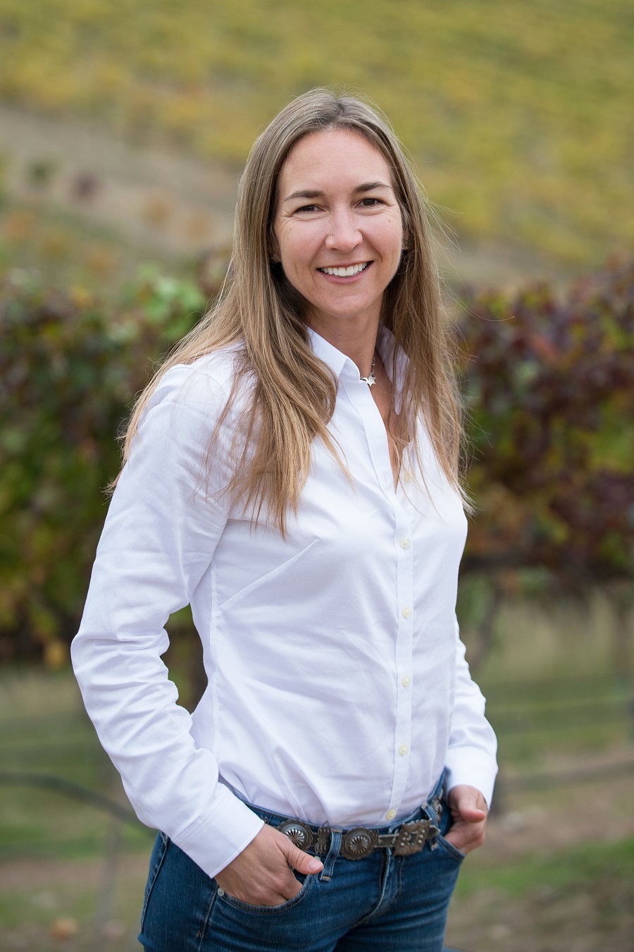
Collecting data to study the ecology of an area encompassing approximately 541,730 km2 (209,162 square miles) across parts of five western states is a job perfectly suited for remote sensing instruments carried aboard satellites and aircraft. As Director of the Boise Center Aerospace Laboratory (BCAL) at Boise State University, Dr. Nancy Glenn uses remotely sensed data to conduct and coordinate research across the region in vegetation, soils, and landscape change. While most of the lab’s research is conducted in the Great Basin, BCAL projects also include studies in the peatlands of northern Minnesota and in wetland areas along the Lower Colorado River.
Much of the lab’s work utilizes LIDAR and hyperspectral remote sensing with instruments on ground-based, airborne, and satellite platforms. LIDAR, which is an acronym for “light detection and ranging,” is a remote sensing technique that uses laser beam pulses to measure the distance of objects from the LIDAR instrument. When paired with a global positioning system (GPS) receiver, LIDAR can be used to create extremely accurate 3-D measurements of Earth. LIDAR is most commonly carried aboard an aircraft to provide measurements over broad areas, and can be used to measure features on land (topography) or under water (bathymetry).
To read more about Dr. Glenn's work and her use of NASA Earth science data, see "User Profile: Dr. Nancy Glenn"


