
CARVE: Daily Thaw State of Boreal and Arctic Alaska from AMSR-E and SSM/I, 2003-2014
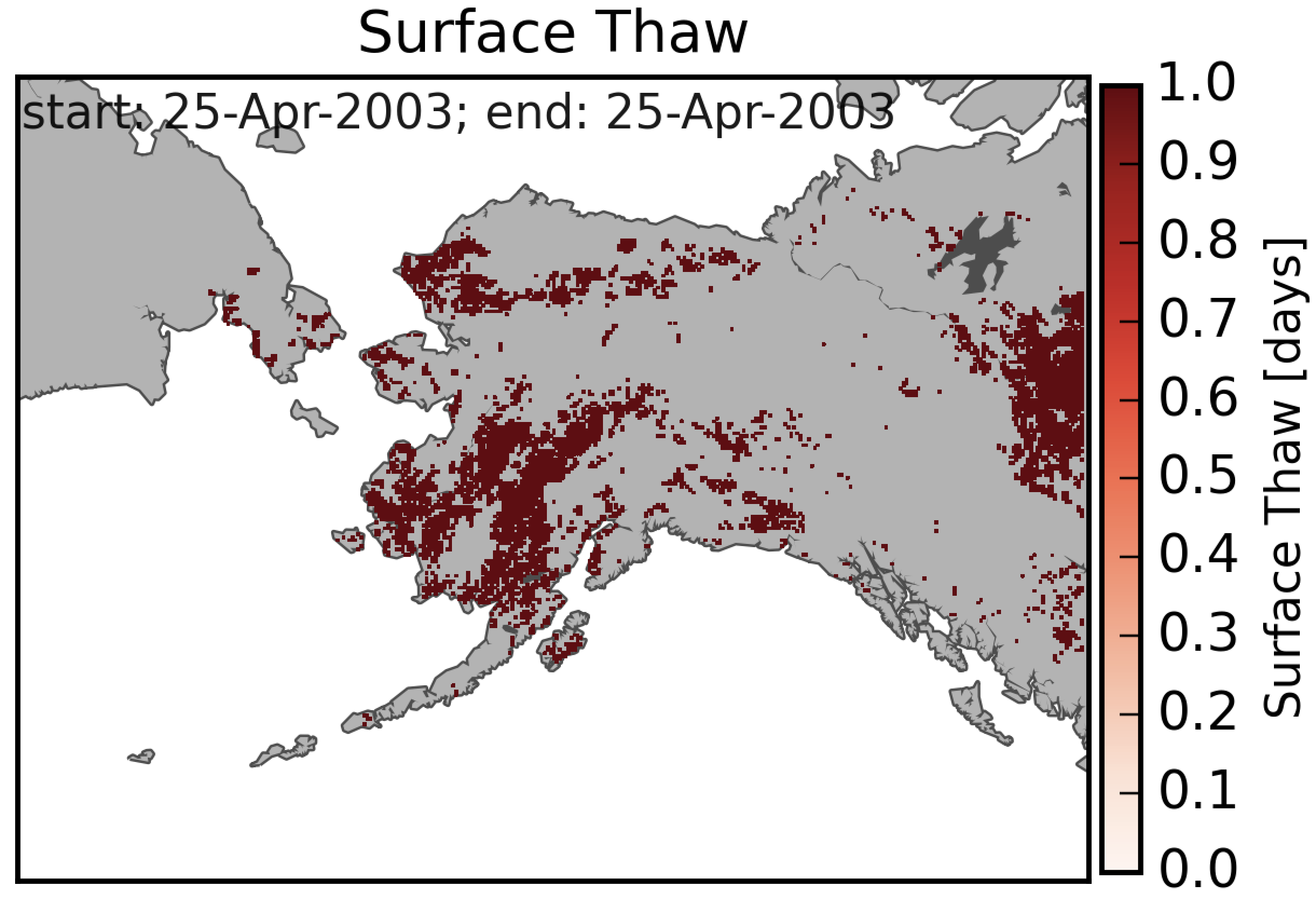
This dataset provides daily 10 km resolution maps of the Alaskan and Arctic Boreal land surface state as either frozen, melting, or thawed. These data are generated from passive microwave radiometer observations made from 2003 through 2014 by the Advanced Microwave Scanning Radiometer (AMSR-E) and the Special Sensor Microwave Imager (SSM/I). Data products overlap with science data collections carried out during the Carbon in Arctic Reservoirs Vulnerability Experiment (CARVE).
Data Citation
Steiner, N., K.C. McDonald, and C.E. Miller. 2017. CARVE: Daily Thaw State of Boreal and Arctic Alaska from AMSR-E and SSM/I, 2003-2014. ORNL DAAC, Oak Ridge, Tennessee, USA. http://dx.doi.org/10.3334/ORNLDAAC/1383
Data center: ORNL DAAC
Sponsor: NASA EOSDIS
