
The ORNL DAAC recently released the following new EOS Land Validation dataset by Moghaddam, M., et al (2023):
Soil Moisture Profiles and Temperature Data from SoilSCAPE Sites, Version 2
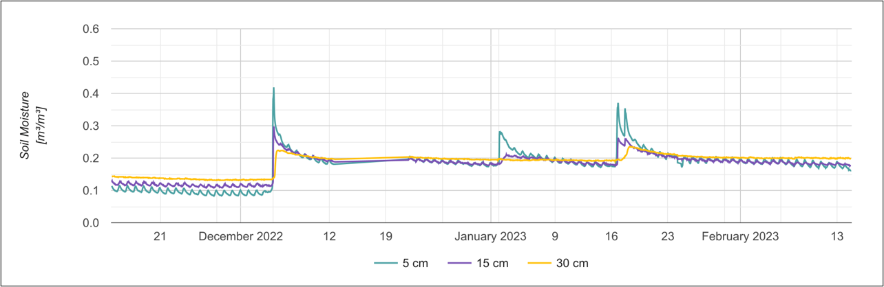
This dataset contains in-situ soil moisture profile and soil temperature data collected at 30-minute intervals at SoilSCAPE (Soil moisture Sensing Controller and oPtimal Estimator) project sites since 2021 in the United States and New Zealand. The SoilSCAPE network has used wireless sensor technology to acquire high temporal resolution soil moisture and temperature data over varying durations since 2011. Since 2021, the SoilSCAPE has upgraded the two previously active sites in Arizona and added several new sites in the United States and New Zealand. These new sites typically use the METER Teros-12 soil moisture sensor. At its maximum, the new network consisted of 57 wireless sensor installations (nodes), with a range of 6 to 8 nodes per site. Each SoilSCAPE site contains multiple wireless end-devices (EDs). Each ED supports up to five soil moisture probes typically installed at 5, 10, 20, and 30 cm below the surface. Sites in Arizona have soil moisture probes installed at up to 75 cm below the surface. Soil conditions (e.g., hard soil or rocks) may have limited sensor placement. The data enables estimation of local-scale soil moisture at high temporal resolution and validation of remote sensing estimates of soil moisture at regional and national (e.g. NASA's Cyclone Global Navigation Satellite System - CYGNSS and Soil Moisture Active Passive - SMAP) scales. The data are provided in NetCDF format.
The objective of the EOS Land Validation (Land Val) Project is to support the validation of Earth Observing System (EOS) Land Products, especially MODIS, ASTER, MISR, and LANDSAT 7. The data include in-situ and aircraft measurements for validating satellite products.
Additional data from EOS Land Validation project and other relevant links can be found on the ORNL DAAC's project page.
Citation: Moghaddam, M., A.R. Silva, D. Clewley, R. Akbar, S.A. Hussaini, J. Whitcomb, R. Shrestha, C.J. Lindsley, T.R. Walker, and B.E. Wilson. 2023. Soil Moisture Profiles and Temperature Data from SoilSCAPE Sites, Version 2. ORNL DAAC, Oak Ridge, Tennessee, USA. https://doi.org/10.3334/ORNLDAAC/2049