
Data from NASA’s Airborne Microwave Observatory of Subcanopy and Subsurface (AirMOSS) investigation is now available from the ORNL DAAC. The goal the AirMOSS investigation is to provide high-resolution observations of root-zone soil moisture (RZSM) over regions representative of the major North American climatic habitats (biomes), quantify the impact of variations in soil moisture on the estimation of regional carbon fluxes, and extrapolate the reduced-uncertainty estimates of regional carbon fluxes to the continental scale of North America.
See AirMOSS, SMAP, and other soil moisture data with the Soil Moisture Visualizer
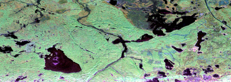
The AirMOSS campaign used an airborne ultra-high frequency synthetic aperture radar flown on a Gulfstream-III aircraft to derive estimates of soil moisture down to approximately 1.2 meters. Extensive ground, tower, and aircraft in-situ measurements were collected to validate root-zone soil measurements and carbon flux model estimates.
The AirMOSS measurements can be used to better understand carbon fluxes and their associated uncertainties on a continental scale. Additionally, AirMOSS data provide a direct means for validating root-zone soil measurement algorithms from the Soil Moisture Active & Passive (SMAP) mission and assessing the impact of fine-scale heterogeneities in its coarse-resolution products.
One primary product of the AirMOSS investigation is the the Level 2/3 root zone soil moisture (RZSM) data. AirMOSS produces estimates of RZSM with data from a P-band synthetic aperture radar (SAR) flown on a NASA Gulfstream-III aircraft. The resulting soil moisture estimates capture the effects of gradients of soil, topography, and vegetation heterogeneity over an area of approximately 100km × 25km at each of ten sites across North America. AirMOSS flight campaigns took place at least biannually from 2012 to 2015 at each site.
A full list of AirMOSS data products is available at: AirMOSS data products
