
The ORNL DAAC recently released a new Arctic-Boreal Vulnerability Experiment (ABoVE) dataset by Miller, C.E., et al. (2022):
ABoVE: Hyperspectral Imagery AVIRIS-NG, Alaskan and Canadian Arctic, 2017-2019 V2
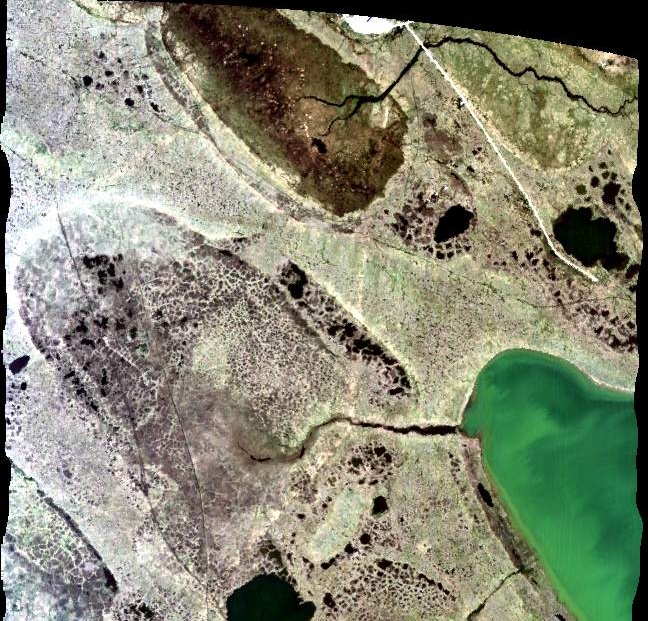
This dataset provides Level 1 radiance and Level 2 surface reflectance measured by the Airborne Visible/Infrared Imaging Spectrometer-Next Generation (AVIRIS-NG) instrument during flights over the Arctic-Boreal Vulnerability Experiment (ABoVE) domain from June to August in 2017 and July to August in 2018 and 2019. The data include 848 flight lines covering areas of interest to the ABoVE campaign over much of Alaska and western Canada. These data will allow researchers to characterize ecosystem structure and function near the height of the growing season. This dataset represents one part of a multi-sensor airborne sampling campaign conducted by eleven different aircraft teams for ABoVE. The L2 reflectance files in this publication were reprocessed with an updated reflectance algorithm and replace Versions 1 of this dataset. The imagery data are provided in ENVI format along with a RGB composite image for each flight line and shapefiles showing imagery boundaries.
The ABoVE is a NASA Terrestrial Ecology Program field campaign being conducted in Alaska and western Canada, for 8 to 10 years, starting in 2015. Research for ABoVE links field-based, process-level studies with geospatial data products derived from airborne and satellite sensors, providing a foundation for improving the analysis, and modeling capabilities needed to understand and predict ecosystem responses to, and societal implications of, climate change in the Arctic and Boreal regions.
Additional data from ABoVE and other relevant links can be found on the ORNL DAAC's ABoVE Project Page.
Citation: Miller, C.E., R.O. Green, D.R. Thompson, A.K. Thorpe, M. Eastwood, I.B. Mccubbin, W. Olson-Duvall, M. Bernas, C.M. Sarture, S. Nolte, L.M. Rios, M.A. Hernandez, B.D. Bue, and S.R. Lundeen. 2022. ABoVE: Hyperspectral Imagery AVIRIS-NG, Alaskan and Canadian Arctic, 2017-2019 V2. ORNL DAAC, Oak Ridge, Tennessee, USA. https://doi.org/10.3334/ORNLDAAC/2009