ACT-America: L1 Meteorological and Aircraft Navigational Data
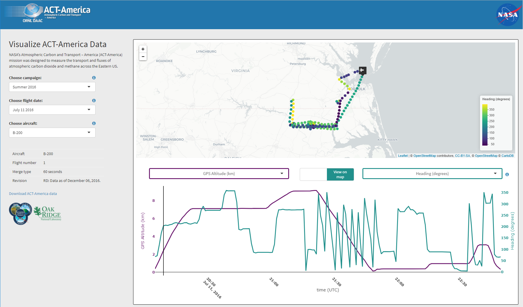
This dataset provides aircraft navigational parameters and related meteorological data (often referred to as "housekeeping" data) in support of the research activities for the two aircraft that flew for the NASA Atmospheric Carbon and Transport-America (ACT-America) project. ACT-America's mission spans five years and includes five 6-week intensive field campaigns covering all 4 seasons and 3 regions of the central and eastern United States. Two instrumented aircraft platforms, the NASA Langley Beechcraft B200 King Air and the NASA Goddard Space Flight Center's C-130H Hercules, were used to collect high-quality in situ measurements across a variety of continental surfaces and atmospheric conditions. During these flights, aircraft positional, meteorological, and environmental data are recorded by a variety of instruments. For this dataset, measurements include, but are not limited to: latitude, longitude, altitude, ground speed, air temperature, and wind speed and direction. These data are incorporated into related ACT-America flight-instrumented datasets to provide geotrajectory file information for position, attitude, and altitude awareness of instrumented sampling.
Data Citation:
Yang, M.M., J.D. Barrick, C. Sweeney, J.P. Digangi, and J.R. Bennett. 2018. ACT-America: L1 Meteorological and Aircraft Navigational Data. ORNL DAAC, Oak Ridge, Tennessee, USA. https://doi.org/10.3334/ORNLDAAC/1574
Data Center: ORNL DAAC
Sponsor: NASA EOSDIS


