
The ORNL DAAC recently released a new ACT-America dataset developed by Lin, B., et al. (2022):
ACT-America: L2 Remotely Sensed Column-avg CO2 by Airborne Lidar, Lite, Eastern USA
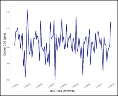
This dataset provides a direct subset (i.e., the Lite version) of the Level 2 (L2) remotely sensed column-average carbon dioxide (CO2) concentrations measured during airborne campaigns in Summer 2016, Winter 2017, Fall 2017, and Spring 2018 conducted over central and eastern regions of the U.S. for the Atmospheric Carbon and Transport (ACT-America) project. Column-average CO2 concentrations were measured at a 0.1-second frequency during flights of the C-130 Hercules aircraft at altitudes up to 8 km with a Multi-functional Fiber Laser Lidar (MFLL; Harris Corporation). The MFLL is a set of Continuous-Wave (CW) lidar instruments consisting of an intensity-modulated multi-frequency single-beam synchronous-detection Laser Absorption Spectrometer (LAS) operating at 1571 nm for measuring the column amount of CO2 number density and range between the aircraft and the surface or to cloud tops, and surface reflectance and a Pseudo-random Noise (PN) altimeter at 1596 nm for measuring the path length from the aircraft to the scattering surface and/or cloud tops. The MFLL was onboard all ACT-America seasonal campaigns, except Summer 2019. Complete aircraft flight information, interpolated to the 0.1-second column CO2 reporting frequency, is included, but not limited to, latitude, longitude, altitude, and attitude.
The ACT-America mission spanned five years and included field campaigns covering all four seasons over central and eastern regions of the United States. ACT-America's objectives were to study the transport and fluxes of atmospheric CO2 and CH4. Two instrumented aircraft platforms, the NASA Langley Beechcraft B-200 King Air and the NASA Wallops Flight Facility's C-130 Hercules, were used to collect high-quality in situ measurements across a variety of continental surfaces and atmospheric conditions. At times they flew directly under Orbiting Carbon Observatory-2 (OCO-2) overpasses to evaluate the ability of OCO-2 to observe high-resolution atmospheric CO2 variations. The C-130 aircraft was also equipped with active remote sensing instruments for planetary boundary layer height detection and column greenhouse gas measurements.
Additional data from ACT-America and other relevant links can be found on the ORNL DAAC's ACT-America Project Page.
Citation: Lin, B., J.F. Campbell, J. Dobler, E.V. Browell, S.A. Kooi, S. Pal, T. Fan, W. Erxleben, D. Mcgregor, M.D. Obland, and C. O'Dell. 2022. ACT-America: L2 Remotely Sensed Column-avg CO2 by Airborne Lidar, Lite, Eastern USA. ORNL DAAC, Oak Ridge, Tennessee, USA. https://doi.org/10.3334/ORNLDAAC/1892