
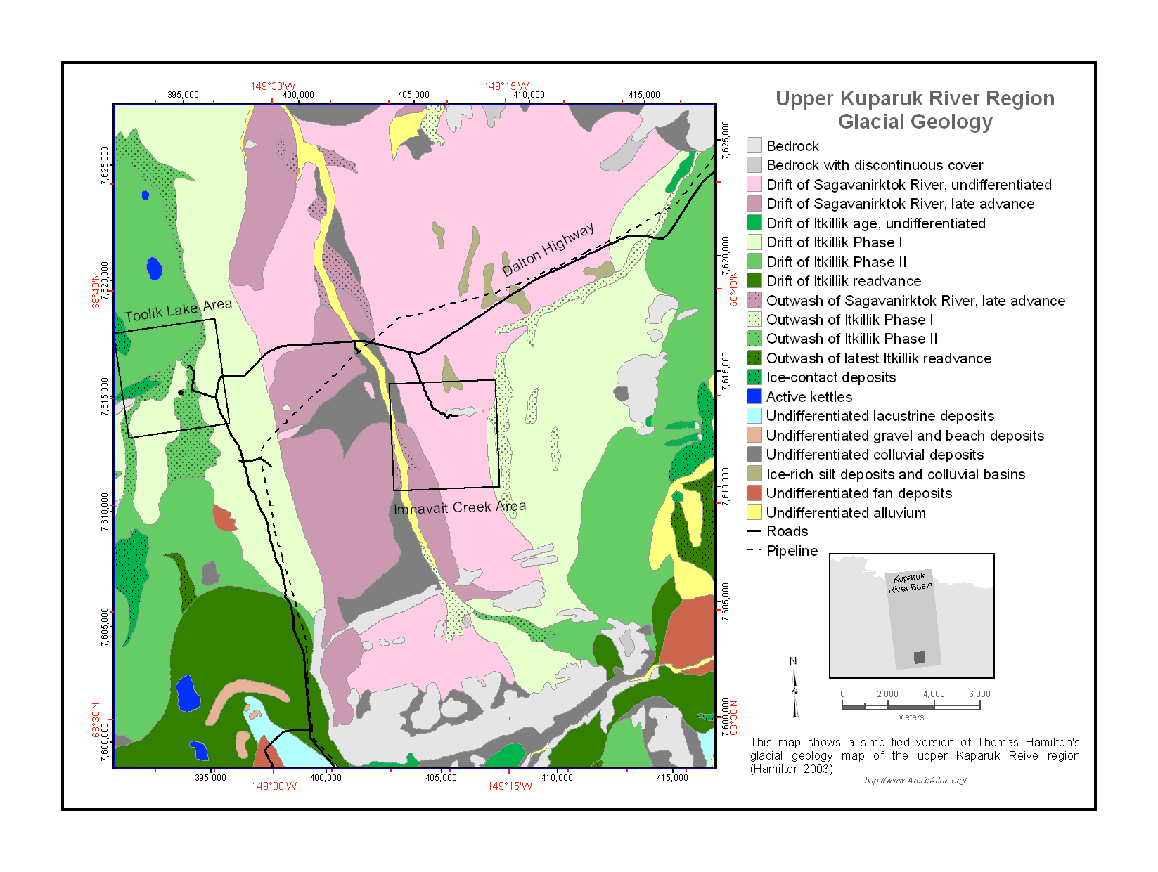
Pre-ABoVE: Vegetation Types and Physiographic Features, Kuparuk River Basin, Alaska
This data set provides a collection of vegetation, landscape, geobotanical, elevation, hydrology, and geologic maps for the Kuparuk River Basin, North Slope, Alaska. The maps cover either (1) the entire Kuparuk River Basin, from the headwaters on the north side of the Brooks Range to the Beaufort Sea coast, or (2) the selected Upper Kuparuk River Region including the Toolik Lake and Imnavait Creek research areas. The maps were produced from imagery and existing geobotanical maps covering the period 1976-08-04 to 2008-12-31.
Data Citation
Walker, D.A., and M.K. Raynolds. 2017. Pre-ABoVE: Vegetation Types and Physiographic Features, Kuparuk River Basin, Alaska. ORNL DAAC, Oak Ridge, Tennessee, USA.
http://dx.doi.org/10.3334/ORNLDAAC/1378
Data center: ORNL DAAC
Sponsor: NASA EOSDIS
