
ATom: Aircraft Flight Track and Navigational Data
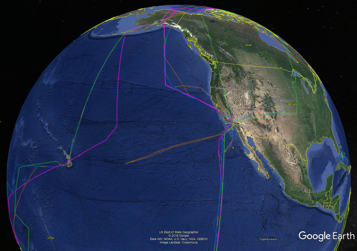
Flight track and aircraft navigation data from each of the four campaigns of the NASA Atmospheric Tomography Mission (ATom) is now available in easy-to-use KML format. The data include research flight number, flight date, and start and stop time of each 10-second recording interval. One intended use of these data is to facilitate mapping of results from global models onto the particular ATom flight tracks.
NASA's ATom campaign deploys an extensive gas and aerosol payload on the NASA DC-8 aircraft for systematic, global-scale sampling of the atmosphere, profiling continuously from 0.2 to 12 km altitude. Flights occurred in each of 4 seasons from 2016 to 2018. During each campaign, flights originate from the Armstrong Flight Research Center in Palmdale, California, fly north to the western Arctic, south to the South Pacific, east to the Atlantic, north to Greenland, and return to California across central North America.
See all data from the ATom Mission
Data citation: Wofsy, S.C., and ATom Science Team. 2018. ATom: Aircraft Flight Track and Navigational Data. ORNL DAAC, Oak Ridge, Tennessee, USA. https://doi.org/10.3334/ORNLDAAC/1613
Data Center: ORNL DAAC
Sponsor: NASA EOSDIS
