
The ORNL DAAC recently released the following new AVIRIS dataset by Green, R.O., et al (2023):
AVIRIS-Classic: L1B Calibrated Radiance, Facility Instrument Collection, V1
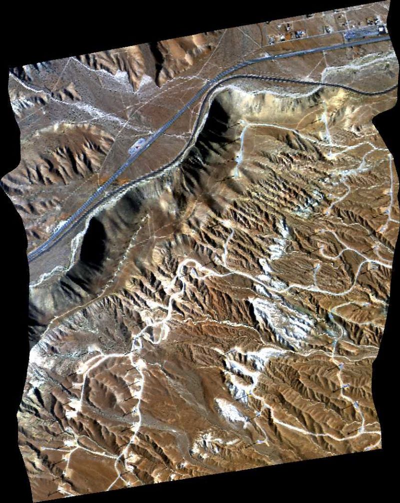
This dataset contains Level 1B (L1B) orthocorrected, scaled radiance image files as well as files of observational geometry and illumination parameters and supporting sensor band information from the Airborne Visible / Infrared Imaging Spectrometer (AVIRIS-Classic) instrument. This is the NASA Earth Observing System Data and Information System (EOSDIS) facility instrument archive of these data. The NASA AVIRIS-Classic is a pushbroom spectral mapping system with high signal-to-noise ratio (SNR), designed and toleranced for high performance spectroscopy. AVIRIS-Classic measures reflected radiance in 224 contiguous bands at approximately 10-nm intervals in the Visible to Shortwave Infrared (VSWIR) spectral range from 400-2500 nm. The primary data files include: orthocorrected calibrated radiance image (img) files, geometric lookup table (glt) and orthocorrected observation geometry and illumination (obs_ort) files. Also included are unprojected files of input geometry (igm), and parameters relating to the geometry of observation and illumination (obs). Additional files provide information on spectral (spc) and radiometric calibration (rcc, gain), spatial resolution (geo), aircraft and sensor position (eph, nav), deployment notes (info), and data processing (plog). Quicklook images (jpeg) and polygon outlines of imagery footprints (kmz) are provided for each flight line.
The Airborne Visible InfraRed Imaging Spectrometer - Classic (AVIRIS-C) and Next Generation (AVIRIS-NG) are two Facility Instruments (FIs) that are part of NASA’s Airborne Science Program (ASP) and the Jet Propulsion Laboratory’s (JPL) Earth Science Airborne Program. The AVIRIS-C is an imaging spectrometer that delivers calibrated images of the upwelling spectral radiance in 224 contiguous spectral channels with wavelengths from 400 to 2500 nanometers (nm). The AVIRIS-NG is the successor to AVIRIS-Classic and provides high signal-to-noise ratio imaging spectroscopy measurements in 425 contiguous spectral channels with wavelengths in the solar reflected spectral range (380-2510 nm). The AVIRIS-NG started operation in 2014 and is expected to replace the AVIRIS-C instrument. Data from AVIRIS-C and AVIRIS-NG have been applied to a wide range of studies in the fields of terrestrial and coastal aquatic plant physiology, atmospheric and aerosol studies, environmental science, snow hydrology, geology, volcanology, oceanography, soil and land management, agriculture, and limnology.
Additional data from AVIRIS-C and AVIRIS-NG and other relevant links can be found on the ORNL DAAC's AVIRIS project page.
Citation: Green, R.O., D.R. Thompson, J.W. Boardman, J.W. Chapman, M. Eastwood, M. Helmlinger, S.R. Lundeen, and W. Olson-Duvall. 2023. AVIRIS-Classic: L1B Calibrated Radiance, Facility Instrument Collection, V1. ORNL DAAC, Oak Ridge, Tennessee, USA. https://doi.org/10.3334/ORNLDAAC/2155