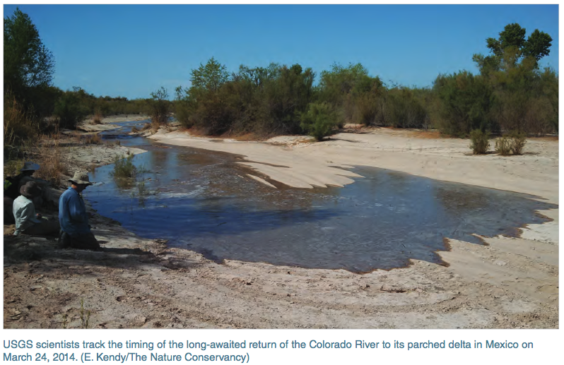
Scientists at the United States Geological Survey (USGS) are conducting the first National Water Census, a massive project that aims to take stock of our nation's water supply. Daymet provides daily readings of rain and snowfall, as well as local temperatures and other meteorological data, such as how wet the soil is, daily humidity, and how much moisture is in the snowpack. Daymet rainfall data is used as the ground truth for rainfall in the National Water Census. In 2014 the USGS released a data portal that offers all National Water Census data in one place, including stream flow statistics, Daymet data, evapotranspiration estimates, and reports on aquatic biology. This will allow anyone, from state water managers to local farmers, to build a budget for their watersheds to monitor changes between supply and demand and ultimately determine how much water is available.
See the full article at:
https://earthdata.nasa.gov/user-resources/sensing-our-planet/connecting…
Daymet: Daily Surface Weather and Climatological Summaries
http://daymet.ornl.gov
United States Geological Survey (USGS) National Water Census
http://water.usgs.gov/watercensus


