
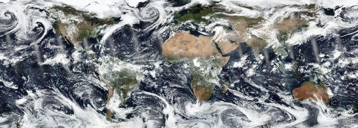
ORNL DAAC's MODIS Collection 6 Land Products Global Subsetting and Visualization Tools are expanding to provide land product data from the Visible Infrared Imaging Radiometer Suite (VIIRS). VIIRS is one of five instruments on-board the Suomi National Polar-orbiting Partnership (S-NPP) satellite, a collaborative mission between NASA and NOAA.
Four VIIRS land products are now available via the global subsetting tool interface and the RESTful API:
- VNP09H1: VIIRS/S-NPP Surface Reflectance 8-Day L3 Global 500m SIN Grid V0001
- VNP09A1: VIIRS/NPP Surface Reflectance 8-Day L3 Global 1 km SIN Grid V001
- VNP13A1: VIIRS/NPP Vegetation Indices 16-Day L3 Global 500m SIN Grid V001
- VNP15A2H: VIIRS/S-NPP Leaf Area Index/FPAR 8-Day L4 Global 500M SIN Grid V001
The VNP09H1 and VNP09A1 Surface Reflectance (SREF) products provide 8-Day Level 3 estimates of land surface reflectance for three imagery bands corrected for atmospheric conditions at 500m and 1km resolutions respectively.
The VNP13A1 product provides vegetation indices by a process of selecting the best available pixel over a 16-day acquisition period at 500m resolution.
The VNP15A2H product provides six dataset layers for the analysis of key factors in leaf area index (LAI) and Fraction of Photosynthetically Active Radiations (FPAR) measurements, the LAI and FPAR measurements, quality detail for both, additional quality detail for FPAR, and standard deviation for LAI and FPAR.
Additional VIIRS products will be added to our subsetting tools as they become available. Please see https://modis.ornl.gov/documentation.html for a list of available products.
Access MODIS/VIIRS Subsetting Tool
Data Product Citations:
Vermote, E., Franch, B., Claverie, M. 2016. VIIRS/NPP Surface Reflectance 8-Day L3 Global 1km SIN Grid V001. NASA EOSDIS Land Processes DAAC. https://doi.org/10.5067/VIIRS/VNP09A1.001
Vermote, E., Franch, B., Claverie, M. 2016. VIIRS/NPP Surface Reflectance 8-Day L3 Global 500m SIN Grid V001. NASA EOSDIS Land Processes DAAC. https://doi.org/10.5067/VIIRS/VNP09H1.001
Didan, K., Barreto, A. 2018. VIIRS/NPP Vegetation Indices 16-Day L3 Global 500m SIN Grid V001. NASA EOSDIS Land Processes DAAC. https://doi.org/10.5067/VIIRS/VNP13A1.001
Myneni, R., Knyazkhin, Y. 2018. VIIRS/NPP Leaf Area Index/FPAR 8-Day L4 Global 500m SIN Grid V001. NASA EOSDIS Land Processes DAAC. https://doi.org/10.5067/VIIRS/VNP15A2H.001
Tool Citations:
ORNL DAAC. 2018. MODIS and VIIRS Land Products Global Subsetting and Visualization Tool. ORNL DAAC, Oak Ridge, Tennessee, USA. https://doi.org/10.3334/ORNLDAAC/1379
ORNL DAAC. 2018. MODIS and VIIRS Land Product Subsets RESTful Web Service. ORNL DAAC, Oak Ridge, Tennessee, USA. https://doi.org/10.3334/ORNLDAAC/1600

