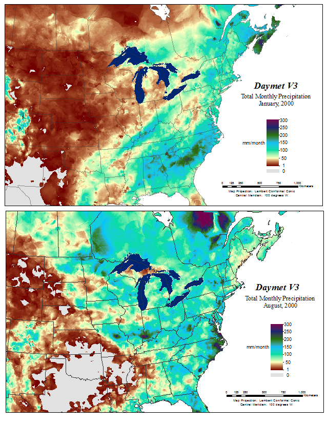
Daymet is a collection of algorithms and computer software designed to interpolate and extrapolate from daily meteorological observations to produce gridded estimates of daily weather parameters.
Archived and distributed through the ORNL DAAC, the Daymet data provides gridded estimates of daily weather parameters for North America, including daily minimum and maximum temperature, precipitation occurrence and amount, humidity, shortwave radiation, snow water equivalent, and day length. The daily time step, 1 km x 1 km spatial resolution, and North American spatial extent of the data set makes it a unique and valuable contribution to scientific, research, and educational communities.
Daymet data have been broadly applied to research areas including hydrology, terrestrial vegetation growth models, carbon cycle science, and regional to large scale climate change analysis, and have been cited over 350 times in the literature.
An updated version of the Daymet data (V3) has been released by the ORNL DAAC. This new release includes algorithm updates that allow gridded estimates covering all of North America, including Canada, Alaska, the United States, and Mexico. Hawaii, Bermuda, and Puerto Rico are also available. Daymet data are available for 1980 through the latest full calendar year.
Daymet Version 3 was processed with an entirely new suite of inputs including:
- NASA SRTM DEM
- MODIS Land-Water Mask
- and newly processed ground station weather inputs from NOAA's GHCN-Daily data
Access to the Daymet data set is available through a variety of tools and formats allowing a rich resource of daily surface meteorology.
For more on Daymet see our Data Description page


