
The ORNL DAAC recently released the following Delta-X dataset by Thompson, D.R., et al. (2023):
Delta-X: AVIRIS-NG BRDF-Adjusted Surface Reflectance, MRD, LA, 2021, V2
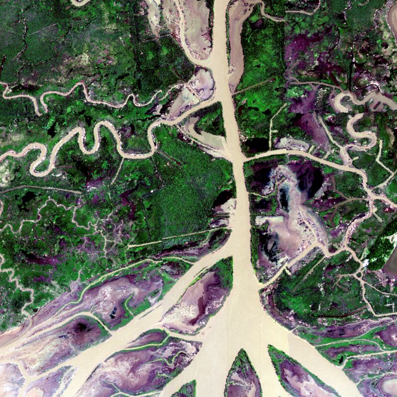
This data provides AVIRIS-NG Bidirectional Reflectance Distribution Function (BRDF) and sunglint-corrected surface spectral reflectance images over the Atchafalaya and Terrebonne basins of the Mississippi River Delta (MRD) of coastal Louisiana, USA. Flights were acquired during the Spring and Fall 2021 deployments of the Delta-X campaign. The imagery was acquired by the Airborne Visible/Infrared Imaging Spectrometer - Next Generation (AVIRIS-NG) from 2021-03-27 to 2021-04-06 and 2021-08-18 to 2021-09-25. Reflectance data are provided as file sets for each flight line. In addition, ten files of mosaicked flight lines, by time period and over four locations (labeled Terre, Atcha, TerreEast, and Bara), are included. Files are presented as compressed (*.zip) files, containing binary ENVI image and header files. Only land pixels were corrected and mask files for the mosaic file coverage showing presence/absence of water are also included. For the Delta-X mission, these data serve to better understand rates of soil erosion, accretion, and creation in the delta system, with the goal of building better models of how river deltas will behave under relative sea level rise.
In this Version 2, five compressed (*.zip) files were corrected. Please see Section 8: Dataset Revisions for additional details.
Delta-X is a 5-year NASA Earth Ventures Suborbital-3 mission to study the Mississippi River Delta in the United States, which is growing and sinking in different areas. River deltas and their wetlands are drowning as a result of sea level rise and reduced sediment inputs. The Delta-X mission will determine which parts will survive and continue to grow, and which parts will be lost. Delta-X begins with airborne and in situ data acquisition and carries through data analysis, model integration, and validation to predict the extent and spatial patterns of future deltaic land loss or gain.
Additional data from the Delta-X project can be found on the Delta-X Project page.
Citation: Thompson, D.R., D.J. Jensen, J.W. Chapman, M. Simard, and E. Greenberg. 2023. Delta-X: AVIRIS-NG BRDF-Adjusted Surface Reflectance, MRD, LA, 2021, V2. ORNL DAAC, Oak Ridge, Tennessee, USA. https://doi.org/10.3334/ORNLDAAC/2139