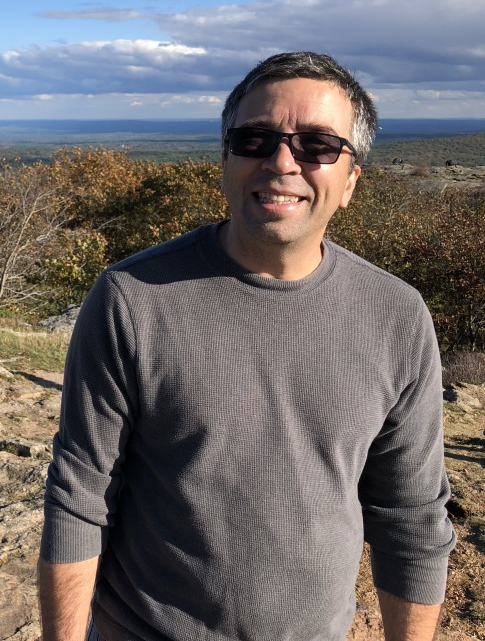
Dr. Paul Siqueira uses Synthetic Aperture Radar (SAR) for environmental remote sensing, SAR processing, and ecosystems science, and develops new ways to use SAR for environmental modeling and assessment. For future research, Dr. Siqueira will integrate radar data collected during a 2019 ecosystem science campaign (NISAR UAVSAR AM-PM) with lidar data from missions like the Global Ecosystem Dynamics Investigation (GEDI) that was launched in December 2018 and installed aboard the International Space Station. The ORNL DAAC will soon serve as the primary source for the GEDI higher-level (Level 3 and 4) data products Dr. Siqueira uses in his research. Lower-level (Level 1 and 2) GEDI data currently are available through NASA’s Land Processes DAAC (LP DAAC).
Dr. Siqueira is a Professor of Electrical and Computer Engineering, and Co-Director of the Microwave Remote Sensing Laboratory at the University of Massachusetts, in Amherst, MA.
To read more about Dr. Siqueira's work and his use of NASA Earth science data, see
NASA Earthdata User Profile: Dr. Paul Siqueira.

