
LiDAR and DTM Data from Forested Land near Manaus, Amazonas, Brazil, 2008
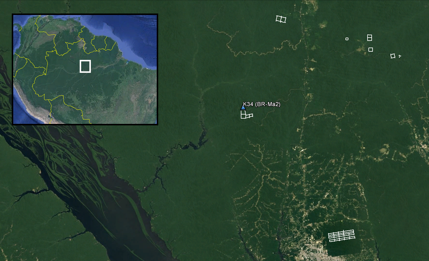
This data set provides LiDAR point clouds and digital terrain models (DTM) from surveys near the Cuieiras Biological Reserve, Adolpho Ducke Forest Reserve, and Rio Preto da Eva municipality near Manaus, Amazonas, Brazil during June and July 2008. The surveys encompass an eddy flux tower and forest inventory plots managed through the Large-scale Biosphere-Atmosphere Experiment in Amazonia. The LiDAR data was collected to measure forest canopy structure across Amazonian landscapes to monitor the effects of selective logging on forest biomass and carbon balance, and forest recovery over time.
Data Citation
Lefsky, M.A., S.R. Saleska, and Y.E. Shimabukuro. 2017. LiDAR and DTM Data from Forested Land Near Manaus, Amazonas, Brazil, 2008. ORNL DAAC, Oak Ridge, Tennessee, USA. http://dx.doi.org/10.3334/ORNLDAAC/1515
Data center: ORNL DAAC
Sponsor: NASA EOSDIS
