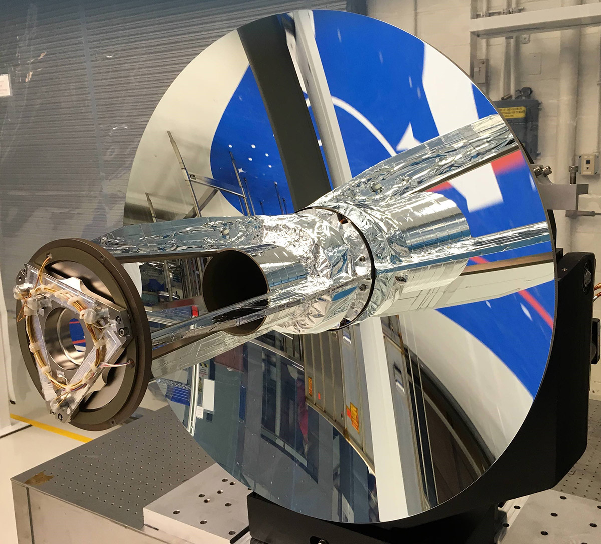
The Global Ecosystem Dynamics Investigation (GEDI) was launched today from Cape Canaveral on a SpaceX Falcon 9 rocket. Once it reaches the International Space Station, robotic arms will attach GEDI to the Japanese Experiment Module – Exposed Facility on the Station.
GEDI will produce high-resolution laser ranging observations of the 3D structure of the Earth, and will allow for precise measurements of forest canopy height, canopy vertical structure, and surface elevation. The mission will greatly advance our ability to characterize important carbon and water cycling processes, biodiversity, and habitat by quantifying the amount of carbon stored in Earth’s vegetation and estimated carbon fluxes resulting from land use and climate change.
Approximately one year after initial data collection, the ORNL DAAC will begin distributing data from GEDI, including forest canopy height metrics and measurements of aboveground biomass and model outputs. Lower-level LiDAR data in each swath will be available from NASA's Land Processes DAAC (https://lpdaac.usgs.gov/ ).
GEDI was competitively selected as a NASA Earth Ventures Instrument (EVI) mission in 2014. GEDI is led by the University of Maryland in collaboration with NASA Goddard Space Flight Center. GEDI science data algorithms and products are created by the GEDI Science Definition Team.
Keep up with the GEDI mission at https://gedi.umd.edu .


