The ORNL DAAC recently released a new Atmospheric Tomography Mission (ATom) dataset by Newman, P.A., et al. (2021):
ATom: GEOS-5 Derived Meteorological Conditions and Tagged Tracers Along Flight Tracks
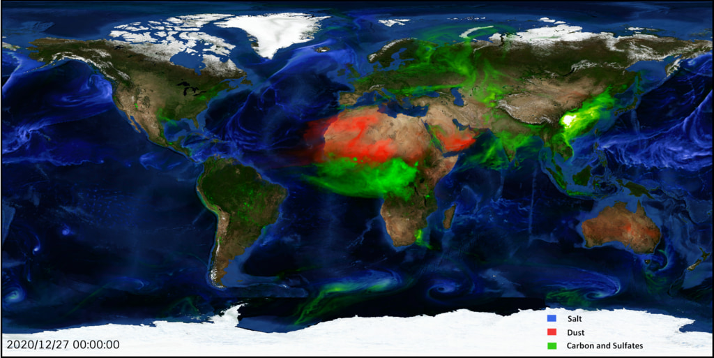
This dataset provides modeled meteorological conditions and tagged-CO tracer concentrations along ATom flight paths derived from the Goddard Earth Observing System Version 5 (GEOS-5) data assimilation products from the Global Modeling and Assimilation Office (GMAO). The GMAO "GEOS fp" forward processing system ingests satellite, ground-based, and airborne data, using a sophisticated model along with the data's statistical properties to obtain global three-dimensional gridded fields at regular time intervals. These data were fitted to the ATom flight tracks by interpolating the GMAO model output to the horizontal ATom flight tracks. The dataset also provides tagged-CO tracer concentrations, which represent the contribution of specific regional sources to the total simulated CO. The data products produced are consistent with both the original measurements and the physical laws governing the atmosphere. To provide some meteorological context for the ATom flights, the GEOS5 gridded data are interpolated in space and time to the flight tracks
The Atmospheric Tomography Mission (ATom) is a NASA Earth Venture Suborbital-2 mission to study the impact of human-produced air pollution on greenhouse gases and on chemically reactive gases in the atmosphere. ATom deployed an extensive gas and aerosol payload on the NASA DC-8 aircraft for systematic, global-scale sampling of the atmosphere, profiling continuously from 0.2 to 12 km altitude. Around-the-world flights were conducted in each of four seasons between 2016 and 2018.
Additional data from ATom and other relevant links can be found on the ORNL DAAC's ATom Project Page.
Citation: Newman, P.A., and S. Pawson. 2021. ATom: GEOS-5 Derived Meteorological Conditions and Tagged Tracers Along Flight Tracks. ORNL DAAC, Oak Ridge, Tennessee, USA. https://doi.org/10.3334/ORNLDAAC/1876

