
The ORNL DAAC recently released a new ACT-America dataset developed by Nehrir, A.R., et al. (2023):
ACT-America: HALO Lidar Measurements of AOP and ML Heights, 2019
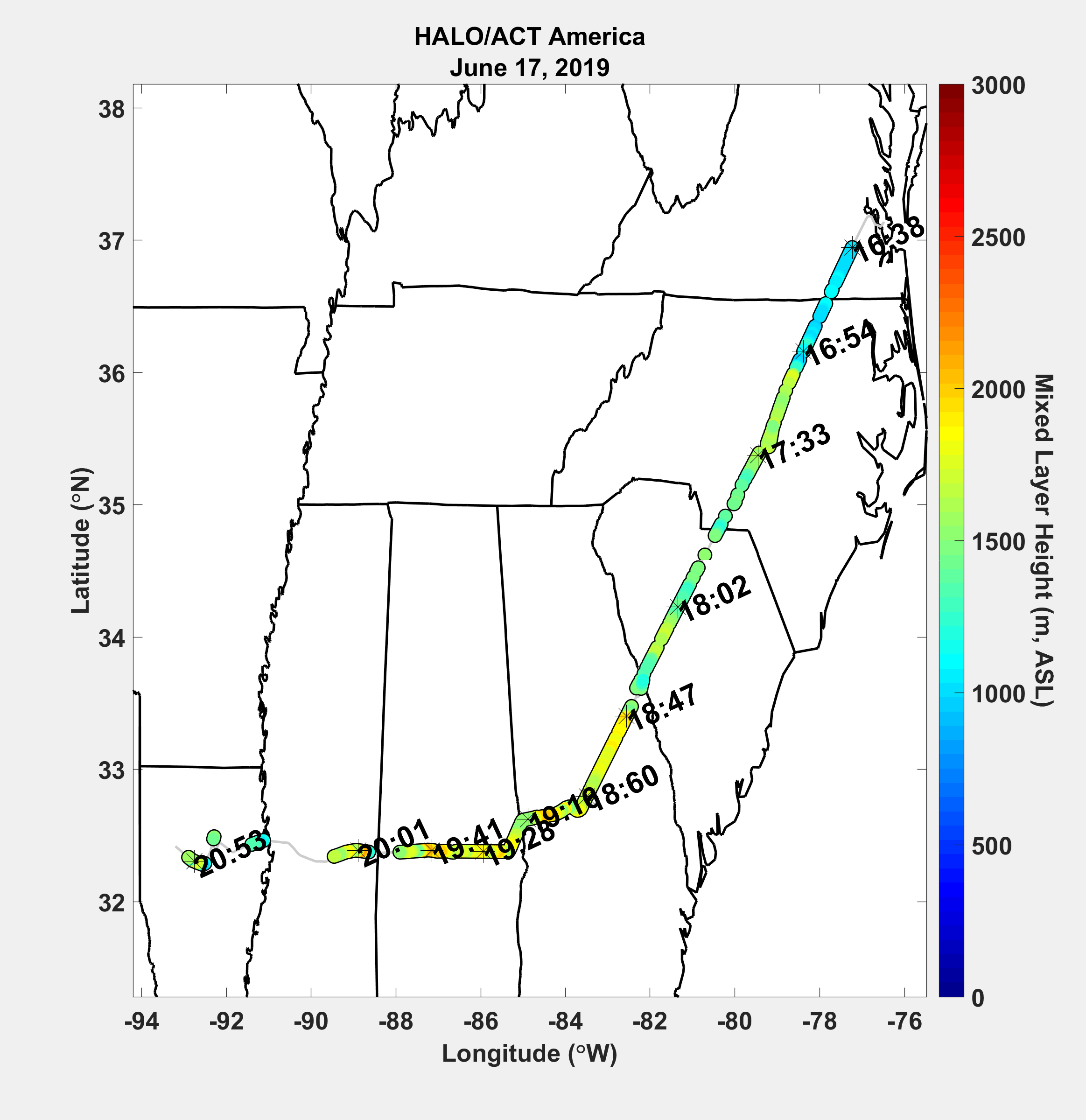
This dataset provides measurements from the High Altitude Lidar Observatory (HALO) instrument, an airborne multi-function Differential Absorption Lidar (DIAL) and High Spectral Resolution Lidar (HSRL), operating at 532 nm and 1064 nm wavelengths onboard a C-130 aircraft during the June and July 2019 ACT-America campaign. The flights took place over eastern and central North America based from Shreveport, Louisiana; Lincoln, Nebraska; and NASA Wallops Flight Facility located on the eastern shore of Virginia. HALO data were sampled at 0.5 s temporal and 1.25 m vertical resolutions. The data include profiles of aerosol optical properties (AOP), distributions of mixed layer heights (MLH), columns of tropospheric methane, and navigation parameters. The data are provided in HDF5 format along with PNG images and a companion files in Portable Document (*.pdf) format.
The ACT-America mission spanned five years and included field campaigns covering all four seasons over central and eastern regions of the United States. ACT-America's objectives were to study the transport and fluxes of atmospheric CO2 and CH4. Two instrumented aircraft platforms, the NASA Langley Beechcraft B-200 King Air and the NASA Wallops Flight Facility's C-130 Hercules, were used to collect high-quality in situ measurements across a variety of continental surfaces and atmospheric conditions. At times they flew directly under Orbiting Carbon Observatory-2 (OCO-2) overpasses to evaluate the ability of OCO-2 to observe high-resolution atmospheric CO2 variations. The C-130 aircraft was also equipped with active remote sensing instruments for planetary boundary layer height detection and column greenhouse gas measurements.
Additional data from ACT-America and other relevant links can be found on the ORNL DAAC's ACT-America Project Page.
Citation: Nehrir, A.R., J.E. Collins, S.A. Kooi, and R.A. Barton-Grimley. 2022. ACT-America: HALO Lidar Measurements of AOP and ML Heights, 2022. ORNL DAAC, Oak Ridge, Tennessee, USA. https://doi.org/10.3334/ORNLDAAC/1833