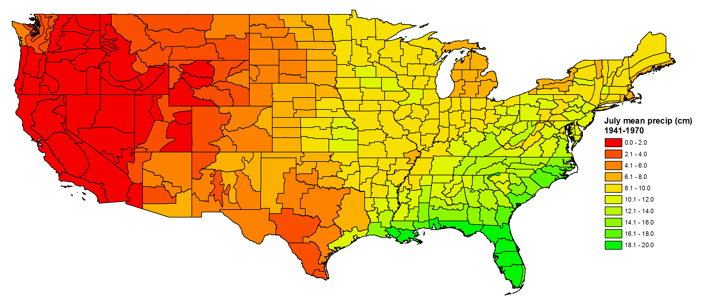
Geoecology: County-Level Environmental Data for the United States, 1941-1981
The Geoecology database is a compilation of environmental data for the period 1941 to 1981. The Geoecology database contains selected data on terrain and soils, water resources, forestry, vegetation, agriculture, land use, wildlife, air quality, climate, natural areas, and endangered species. Data on selected human population characteristics are also included to complement the environmental files. Data represent the conterminous United States at the county level. These historical data are provided as a source of 1970s baseline environmental conditions for the United States.
Data Citation
Olson, R.J., C.J. Emerson, and M.K. Nungesser. 2017. Geoecology: County-Level Environmental Data for the United States, 1941-1981. ORNL DAAC, Oak Ridge, Tennessee, USA.
http://dx.doi.org/10.3334/ORNLDAAC/656
Data center: ORNL DAAC
Sponsor: NASA EOSDIS


