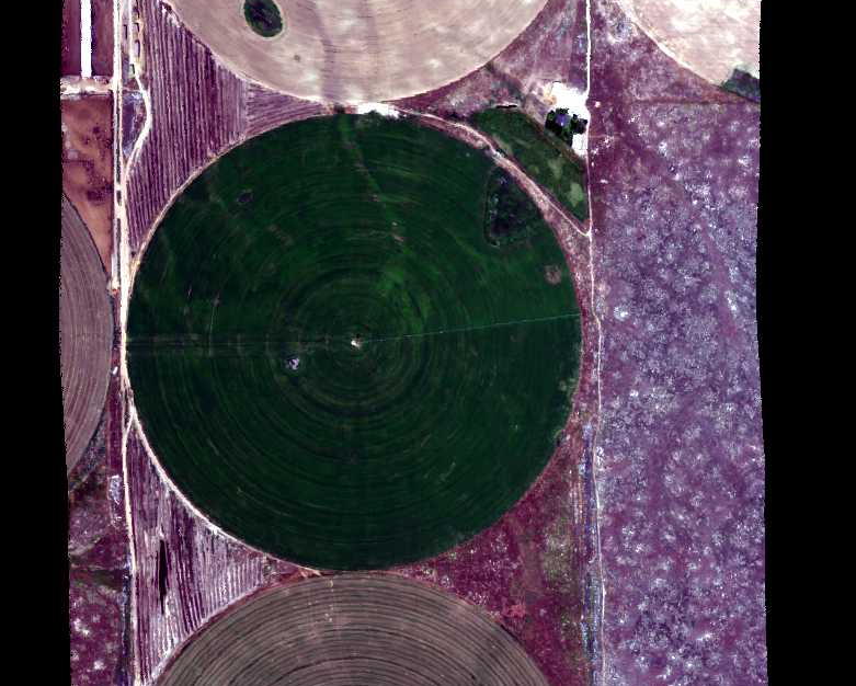
Hyperspectral Imagery from AVIRIS-NG for Sites in ID and CA, USA, 2014 and 2015
This dataset provides surface reflectance measured by the Airborne Visible/Infrared Imaging Spectrometer-Next Generation (AVIRIS-NG) instrument during flights over research sites in Idaho and California in 2014 and 2015. AVIRIS-NG measures reflected radiance at 5-nanometer (nm) intervals in the visible to shortwave infrared spectral range between 380 and 2510 nm. Measurements are radiometrically and geometrically calibrated and provided at 1-meter spatial resolution. The data include 72 flight lines covering long-term research sites in the Reynolds Creek Experimental Watershed in southwestern Idaho and Hollister in southeastern Idaho. Several flight lines from a site in the Inyo National Forest near Big Pine, California are included.
Data Citation:
Dashti, H., N.F. Glenn, L.P. Spaete, and N. Ilangakoon. 2018. Hyperspectral Imagery from AVIRIS-NG for Sites in ID and CA, USA, 2014 and 2015. ORNL DAAC, Oak Ridge, Tennessee, USA. https://doi.org/10.3334/ORNLDAAC/1533
Related Datasets:
Ilangakoon, N., N. Glenn, and L. Spaete. 2017. LiDAR Data, DEM, and Maximum Vegetation Height Product from Southern Idaho, 2014. ORNL DAAC, Oak Ridge, Tennessee, USA. https://doi.org/10.3334/ORNLDAAC/1532
Glenn, N.F., L.P. Spaete, R. Shrestha, A. Li, N. Ilangakoon, J. Mitchell, S.L. Ustin, Y. Qi, H. Dashti, and K. Finan. 2017. Shrubland Species Cover, Biometric, Carbon and Nitrogen Data, Southern Idaho, 2014. ORNL DAAC, Oak Ridge, Tennessee, USA. https://doi.org/10.3334/ORNLDAAC/1503
Data center: ORNL DAAC
Sponsor: NASA EOSDIS


