
Decadal Land Use and Land Cover Classifications across India, 1985, 1995, 2005
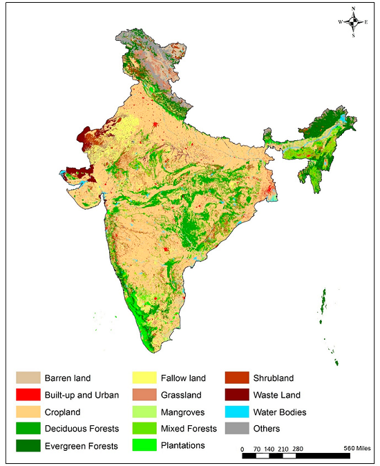
This data set provides land use and land cover (LULC) classification products at 100-m resolution for India at decadal intervals for 1985, 1995 and 2005. The data were derived from Landsat 4 and 5 Thematic Mapper (TM), Enhanced Thematic Mapper Plus (ETM+), and Multispectral (MSS) data, India Remote Sensing satellites (IRS) Resourcesat Linear Imaging Self-Scanning Sensor-1 or III (LISS-I, LISS-III) data, ground truth surveys, and visual interpretation. The data were classified according to the International Geosphere-Biosphere Programme (IGBP) classification scheme.
Data Acknowledgements
Data Authors: Roy, P.S., P. Meiyappan, P.K. Joshi, M.P. Kale, V.K. Srivastav, S.K. Srivasatava, M.D. Behera, A. Roy, Y. Sharma, R.M. Ramachandran, P. Bhavani, A.K. Jain, and Y.V.N. Krishnamurthy.
Data Set DOI: http://dx.doi.org/10.3334/ORNLDAAC/1336
Data center: ORNL DAAC
Sponsor: NASA EOSDIS
