
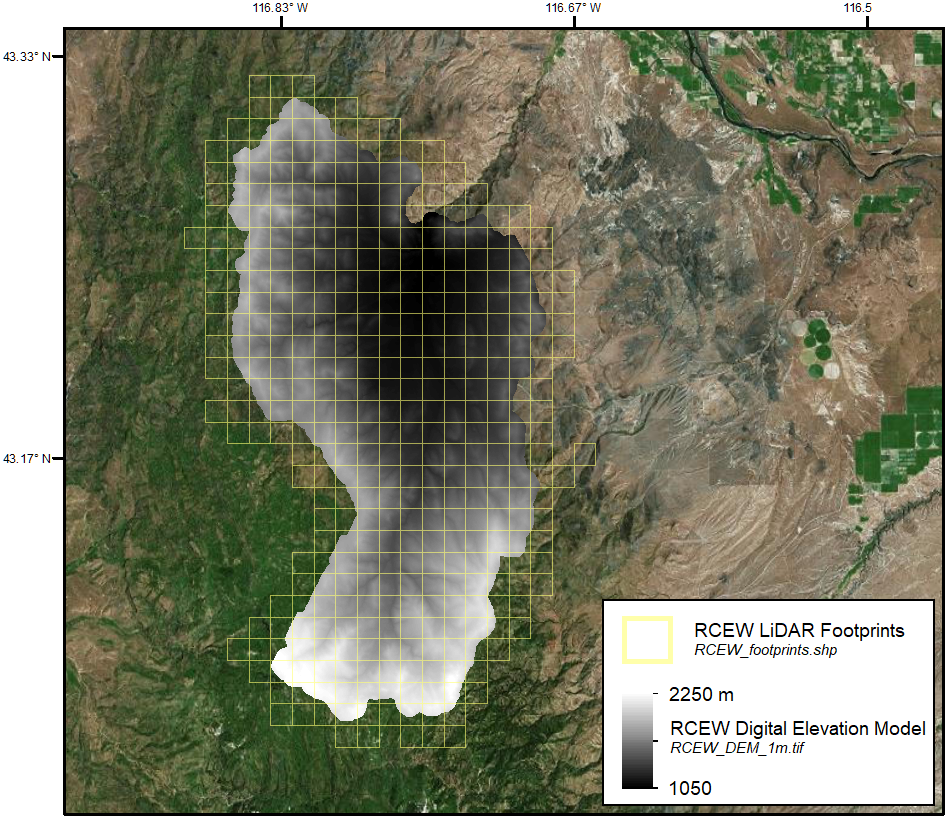
LiDAR Data, DEM, and Maximum Vegetation Height Product from Southern Idaho, 2014
This dataset provides the point cloud data derived from small footprint waveform LiDAR data collected in August 2014 over Reynolds Creek Experimental Watershed and Hollister in southern Idaho. The LiDAR data have been georeferenced, noise-filtered, and corrected for misalignment for overlapping flight lines and are provided in 1 km tiles. High resolution digital elevation models and maps of maximum vegetation height derived from the LiDAR data are provided for each site.
Data Citation:
Ilangakoon, N., N. Glenn, and L. Spaete. 2017. LiDAR Data, DEM, and Maximum Vegetation Height Product from Southern Idaho, 2014. ORNL DAAC, Oak Ridge, Tennessee, USA. https://dx.doi.org/10.3334/ORNLDAAC/1532
Data Center: ORNL DAAC
Sponsor: NASA EOSDIS
