
ABoVE: Fractional Open Water Cover for Pan-Arctic and ABoVE-Domain Regions, 2002-2015
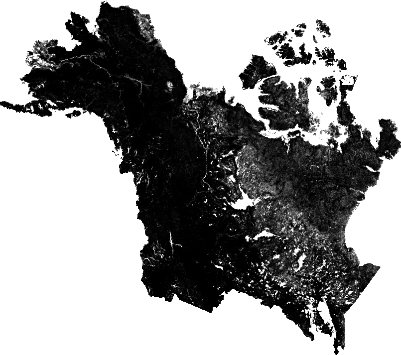
This data set provides land surface fractional open water cover maps for two overlapping regions: the entire pan-Arctic region (latitude > 45 degrees) and the Arctic-Boreal Vulnerability Experiment (ABoVE) domain across Alaska and Canada. The data are a 10-day averaged time step at 5-km spatial resolution for the period 2002-2015. Data represent the aerial portion of a grid cell covered by open water. The data were produced using high frequency (89 GHz) brightness temperatures from the Advanced Microwave Scanning Radiometer for EOS (AMSR-E) and the Advanced Microwave Scanning Radiometer 2 (AMSR2), with other ancillary inputs from AMSR-E/AMSR2 25-km products and the Moderate Resolution Imaging Spectroradiometer (MODIS). The resulting data record for fractional water is suitable for documenting open water patterns and inundation dynamics in boreal-Arctic ecosystems experiencing rapid climate change.
Data Acknowledgements
Data Authors: Du, J., J.S. Kimball, and J.D. Watts.
Data Set DOI: http://dx.doi.org/10.3334/ORNLDAAC/1362
Data center: ORNL DAAC
Sponsor: NASA EOSDIS
