
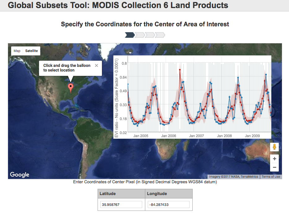
The ORNL DAAC has released an update to the popular MODIS Global Subsetting and Visualization Tool, including support for MODIS Collection 6 land products. The new subsetting tool provides on-demand, customized subsets of 14 MODIS Collection 6 land products.
Users will notice a streamlined subset ordering interface, an order history page for users logged in with Earthdata login, faster subset processing, and a redesigned, interactive order delivery and visualization page. In addition, the MODIS subsetting tool provides:
- R code for analyzing and plotting the subset orders
- detailed QC information
- land cover and phenology data
- data citations
- download access for the data in tabular and spatial data formats
- extensive documentation to make subset orders easier to understand and use
Access the MODIS Collection 6 Subsetting Tool
MODIS Collection 5 data continue to be available through the tool at: MODIS Collection 5 .
Data Acknowledgements
Data Authors: ORNL DAAC
Data Set DOI: http://dx.doi.org/10.3334/ORNLDAAC/1379
Data center: ORNL DAAC
Sponsor: NASA EOSDIS

