
ABoVE: Thaw Depth at Selected Unburned and Burned Sites Across Alaska, 2016-2017
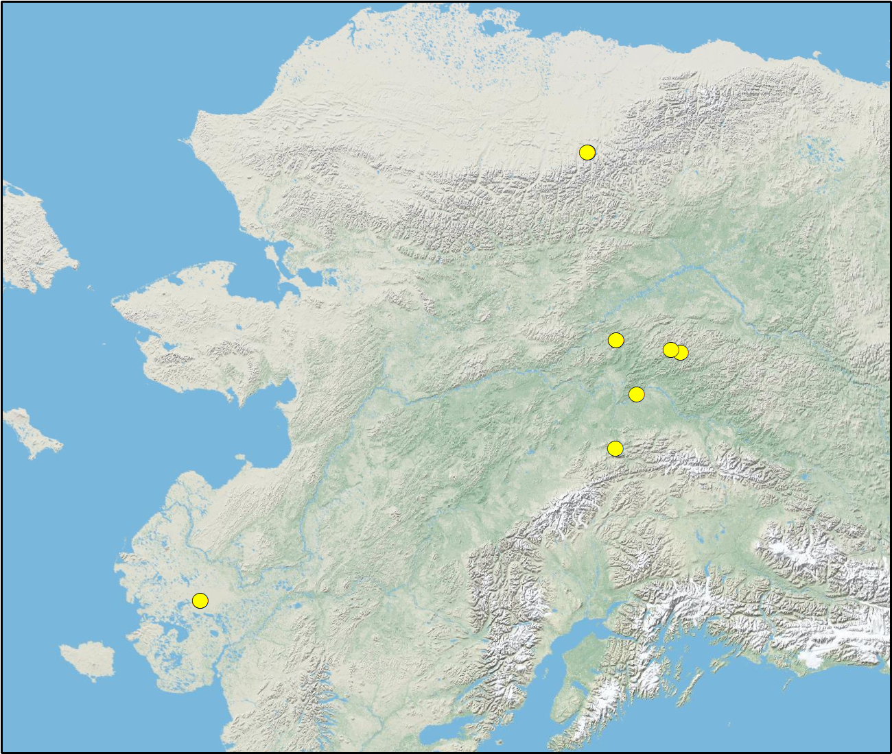
This dataset provides thaw depth measurements made at seven locations across Alaska, during August 2016 and June and September 2017. Three of the locations are paired unburned-burned sites. At each site, three 30-meter transects were established and thaw depth was measured at 1-meter increments along each transect using a 1.15 m T-shaped thaw depth probe. Locations were selected to investigate fire disturbance, to span the range of permafrost regions from continuous to sporadic, and to cover vegetation types from boreal forests, tussock tundra, upland willow/herbaceous scrub, and lowland fen and wet tundra sites across Alaska.
These data are part of a larger study to investigate how the magnitudes, fates, and land-atmosphere exchanges of carbon pools are responding to environmental change, and the biogeochemical mechanisms driving these changes.
Data Citation:
Natali, S., S. Ludwig, C. Minions, and J.D. Watts. 2018. ABoVE: Thaw Depth at Selected Unburned and Burned Sites Across Alaska, 2016-2017. ORNL DAAC, Oak Ridge, Tennessee, USA. https://doi.org/10.3334/ORNLDAAC/1579
Data center: ORNL DAAC
Sponsor: NASA EOSDIS
