
CMS: LiDAR-derived Tree Canopy Cover for Pennsylvania, USA, 2008
This data set provides estimated high-resolution (1-m) tree canopy cover for the state of Pennsylvania, USA, in 2008. The data were derived from 2006-2008 county-level Light Detection and Ranging (LiDAR) data, 2010 leaf-on agricultural imagery, and county building polygon data. The data were processed with a rules-based expert system which facilitated integration of imagery and LiDAR into a single classification workflow, utilizing the spectral, height, and spatial information contained in the data sets to estimate tree canopy cover. A 1 x 1-m pixel was identified as having tree canopy present (value=1) when it (1) contained an object 2-m or higher, (2) was not a known building and/or (3) had a complex LiDAR return structure (typically trees) as compared to those with a simple return structure (typically buildings).
Data Acknowledgements
Data Authors: O'Neil-Dunne, J.
Data Set DOI: http://dx.doi.org/10.3334/ORNLDAAC/1334
Data center: ORNL DAAC
Sponsor: NASA EOSDIS
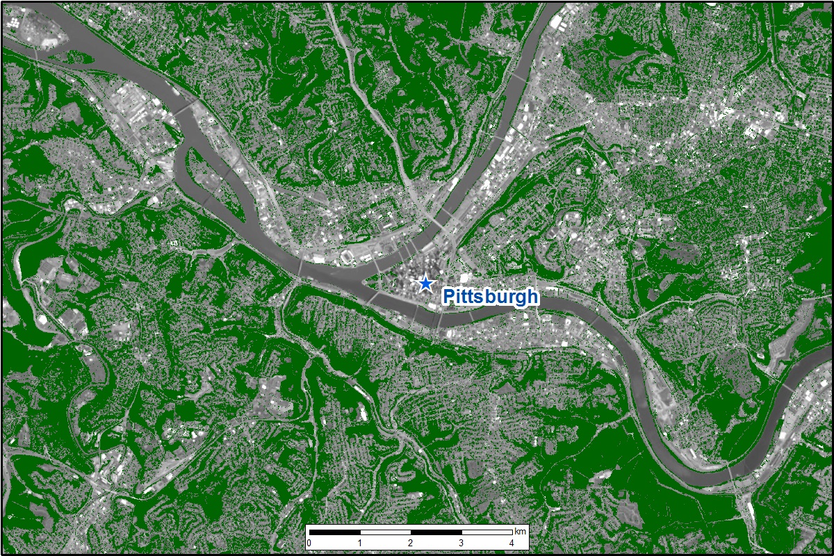
 near Pittsburgh, Pennsylvania, for the year 2008.")