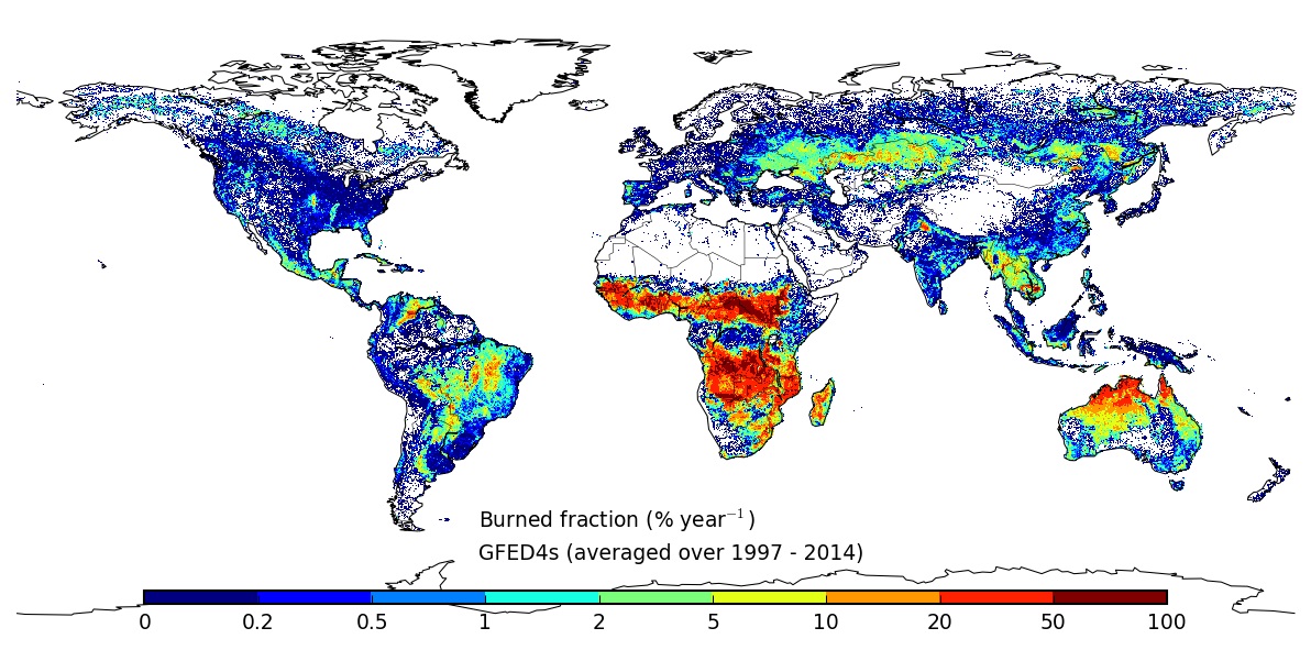
Global Fire Emissions Database, Version 4.1 (GFEDv4)
This dataset provides global estimates of monthly burned area, monthly emissions and fractional contributions of different fire types, daily or 3-hourly fields to scale the monthly emissions to higher temporal resolutions, and data for monthly biosphere fluxes. The data are at 0.25-degree latitude by 0.25-degree longitude spatial resolution and are available from June 1995 through 2016, depending on the dataset. Emissions data are available for carbon (C), dry matter (DM), carbon dioxide (CO2), carbon monoxide (CO), methane (CH4), hydrogen (H2), nitrous oxide (N2O), nitrogen oxides (NOx), non-methane hydrocarbons (NMHC), organic carbon (OC), black carbon (BC), particulate matter less than 2.5 microns (PM2.5), total particulate matter (TPM), and sulfur dioxide (SO2) among others. These data are yearly totals by region, globally, and by fire source for each region.
The 4.1 version incorporates updates to temporal resolution, addendum to the September 2015 release, and all the annual files have been updated with files that contain corrected Rh values.
Data Citation
Randerson, J.T., G.R. van der Werf, L. Giglio, G.J. Collatz, and P.S. Kasibhatla. 2017. Global Fire Emissions Database, Version 4.1 (GFEDv4). ORNL DAAC, Oak Ridge, Tennessee, USA. http://dx.doi.org/10.3334/ORNLDAAC/1293
Data center: ORNL DAAC
Sponsor: NASA EOSDIS


