
Shrubland Species Cover, Biometric, Carbon and Nitrogen Data, Southern Idaho, 2014
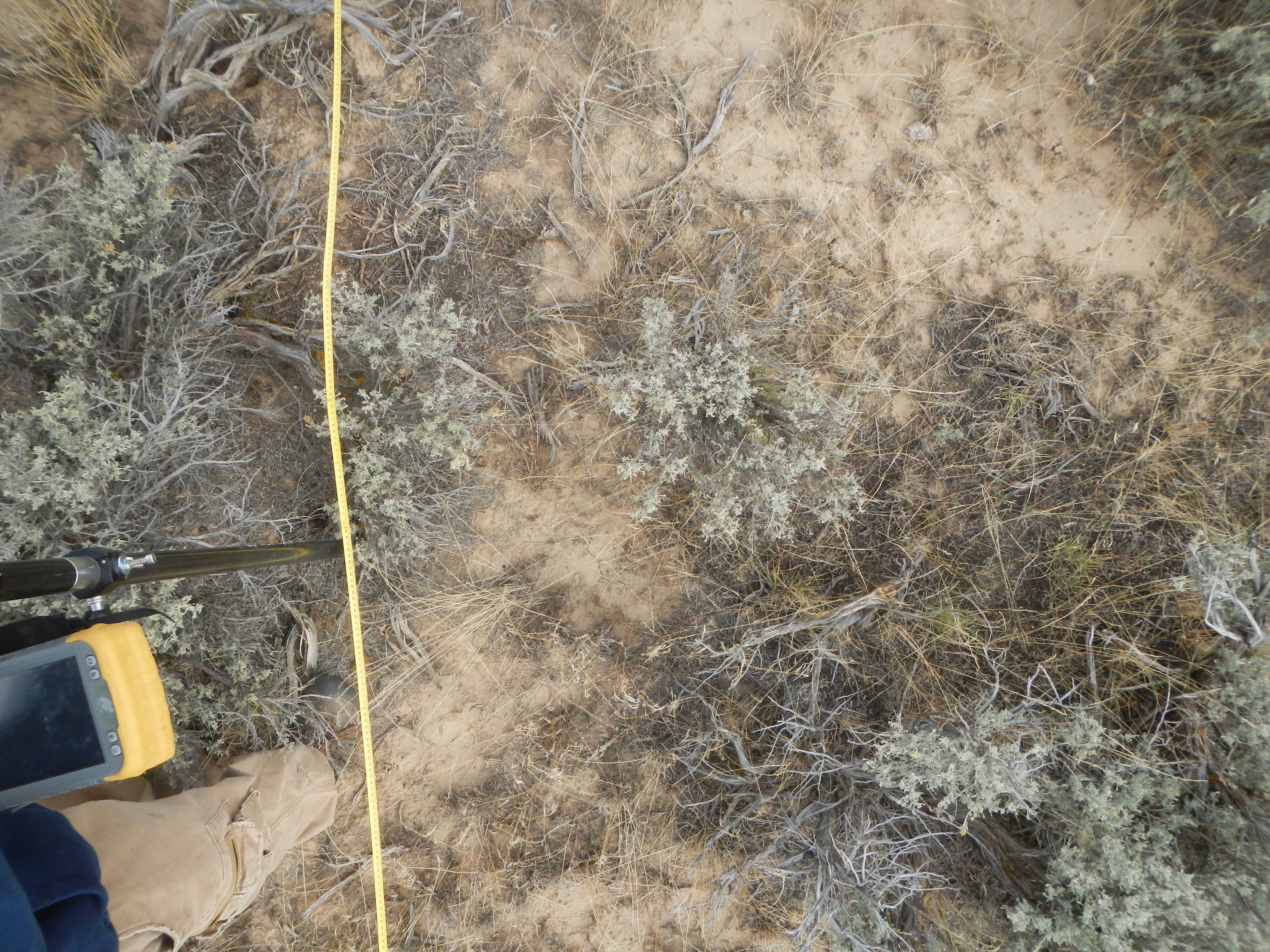
This dataset provides the results of the characterization of shrubland vegetation at two study areas in southern Idaho, USA: the Reynolds Creek Experimental Watershed (RCEW) and Hollister. Data were collected in September and October 2014. In each study area, several 10-m x 10-m plots were randomly established that are representative of the local dominant vegetation types. Measurements are reported for both plot and individual shrub attributes. Plot measurements include shrub density and biometric data, percent shrub cover derived from line intercept transects, percent plant species and bare ground cover derived from photo analysis, and average LAI. Measurements for selected individual shrubs include height, width, length, number of stems, and LAI. Leaf samples were collected for determining LAI, specific leaf area (SLA), carbon and nitrogen concentrations, and isotopic nitrogen and carbon.
Data Citation:
Spaete, L.P., and N.F. Glenn. 2017. Shrubland Species Cover, Biometric, Carbon and Nitrogen Data, Southern Idaho, 2014. ORNL DAAC, Oak Ridge, Tennessee, USA. https://doi.org/10.3334/ORNLDAAC/1503
This data was collected in conjunction with the following remotely-sensed dataset:
Ilangakoon, N., N. Glenn, and L. Spaete. 2017. LiDAR Data, DEM, and Maximum Vegetation Height Product from Southern Idaho, 2014. ORNL DAAC, Oak Ridge, Tennessee, USA. https://doi.org/10.3334/ORNLDAAC/1532
Data center: ORNL DAAC
Sponsor: NASA EOSDIS
