
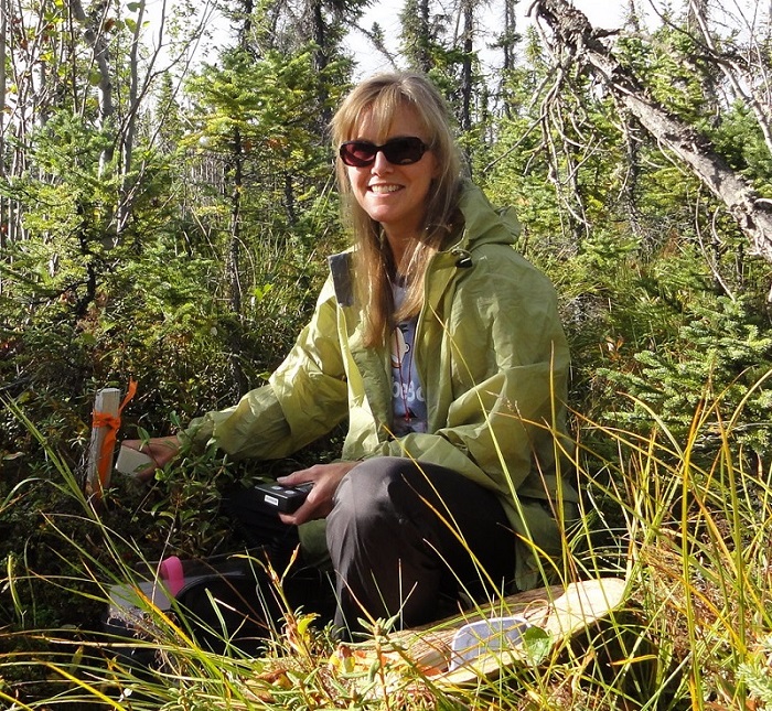
From the jungle to the tundra to isolated lakes in the U.S. Upper Midwest, remotely-sensed data enable scientific investigations in areas that are difficult—sometimes impossible—to access. However, investigations using remotely-sensed data can benefit from boots on the ground. These field campaigns allow scientists to connect remotely-sensed data with real-world processes and improve sensor algorithms to create more accurate data products. For example, the recent Soil Moisture Active Passive Validation Experiment (SMAPVEX16) in the farmlands of Iowa and Manitoba helped improve algorithms used to process NASA Soil Moisture Active Passive (SMAP) mission data. Using field investigations to connect ground observations with remotely-sensed data and to improve sensor data algorithms are also important elements of Dr. Laura Bourgeau-Chavez’ investigations into wildfire, soil moisture monitoring, and wetlands.
Data products from Dr. Bourgeau-Chavez's research:
ABoVE: Burn Severity, Fire Progression, Landcover and Field Data, NWT, Canada, 2014
https://doi.org/10.3334/ORNLDAAC/1307
ABoVE: Burn Severity, Fire Progression, and Field Data, NWT, Canada, 2015-2016
https://doi.org/10.3334/ORNLDAAC/1548
NACP Peatland Landcover Type and Wildfire Burn Severity Maps, Alberta, Canada
https://doi.org/10.3334/ORNLDAAC/1283
NACP Peatland Land Cover Map of Upper Peninsula, Michigan, 2007-2011
https://doi.org/10.3334/ORNLDAAC/1513
To read more about Dr. Bourgeau-Chavez' work and her use of NASA Earth science data, see User Profile: Dr. Laura Bourgeau-Chavez.

