LiDAR Surveys over Selected Forest Research Sites, Brazilian Amazon, 2008-2018
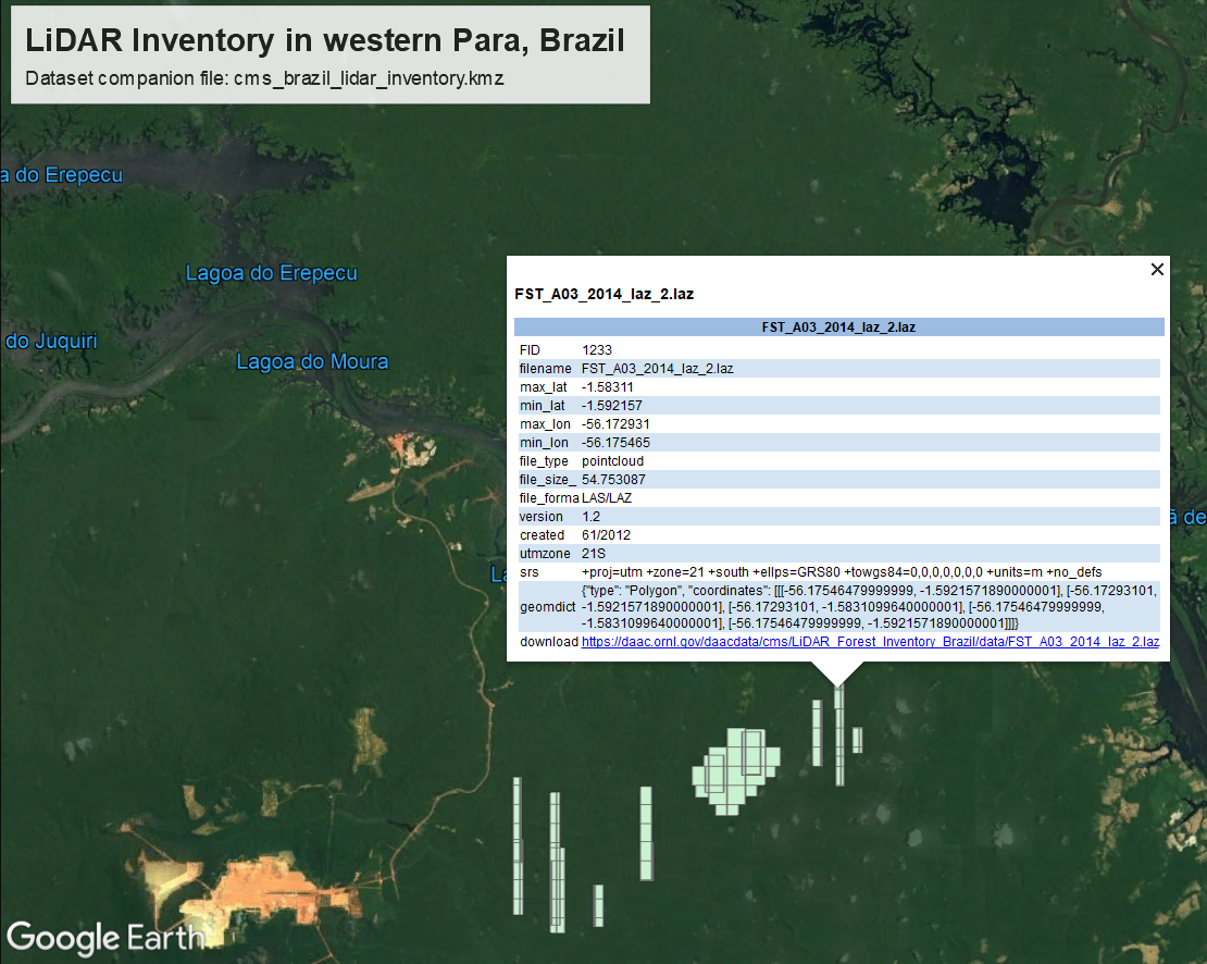
This dataset from the Carbon Monitoring System (CMS) program provides the complete catalog of point cloud data collected during LiDAR surveys over selected forest research sites across the Amazon rainforest in Brazil between 2008 and 2018 for the Sustainable Landscapes Brazil Project. Flight lines were selected to overfly key field research sites in the Brazilian states of Acre, Amazonas, Bahia, Goias, Mato Grosso, Para, Rondonia, Santa Catarina, and Sao Paulo. The point clouds have been georeferenced, noise-filtered, and corrected for misalignment of overlapping flight lines. They are provided in 1 km2 tiles. The data were collected to measure forest canopy structure across Amazonian landscapes to monitor the effects of selective logging on forest biomass and carbon balance, and forest recovery over time.
The NASA CMS program is designed to make significant contributions in characterizing, quantifying, understanding, and predicting the evolution of global carbon sources and sinks through improved monitoring of carbon stocks and fluxes. The System uses NASA satellite observations and modeling/analysis capabilities to establish the accuracy, quantitative uncertainties, and utility of products for supporting national and international policy, regulatory, and management activities. See all ORNL DAAC data from the CMS program.
Data Citation: Dos-Santos, M.N., M.M. Keller, and D.C. Morton. 2019. LiDAR Surveys over Selected Forest Research Sites, Brazilian Amazon, 2008-2018. ORNL DAAC, Oak Ridge, Tennessee, USA. https://doi.org/10.3334/ORNLDAAC/1644
Data Center: ORNL DAAC
Sponsor: EOSDIS


