
Disturbance History and Forest Biomass from Landsat for Six US Sites, 1985-2014
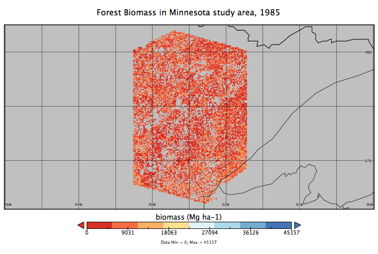
This dataset from the Carbon Monitoring System (CMS) provides derived disturbance history and predicted annual forest biomass maps at a 30 m resolution for six selected Landsat scenes across the Conterminous United States for the period 1985-2014. These scenes were selected to represent a wide range of forest ecosystems, which ensured that a diversity of forest type groups and forest change processes (e.g., harvest, fire, insects, and urbanization) were included. Disturbance history was derived from a Landsat time-series for each site. Each disturbance is represented by year of detection, duration, and magnitude.
NASA's CMS is designed to make significant contributions in characterizing, quantifying, understanding, and predicting the evolution of global carbon sources and sinks through improved monitoring of carbon stocks and fluxes. See all ORNL DAAC data from CMS.
Data Citation: Cohen, W.B., Z. Yang, S.P. Healey, and H.E. Andersen. 2019. Disturbance History and Forest Biomass from Landsat for Six US Sites, 1985-2014. ORNL DAAC, Oak Ridge, Tennessee, USA. https://doi.org/10.3334/ORNLDAAC/1679
Data Center: ORNL DAAC
Sponsor: EOSDIS
