
Harmonized Global Land Use for the Years 2015-2100
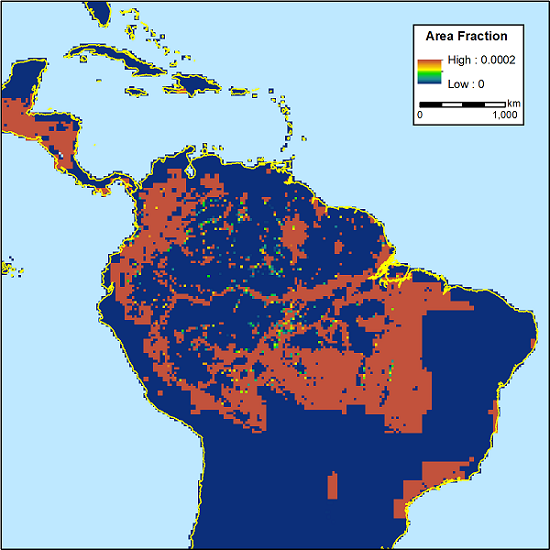
This dataset provides gridded annual estimates of fractional land use and land cover patterns for the period 2015-2100 at a 0.25-degree spatial resolution and a global spatial extent. Land use types, land use transitions, and management (cropland) estimates of area fraction are provided and include detailed separation of primary and secondary natural vegetation into forest and non-forest sub-types, pasture into managed pasture and rangeland, and cropland into multiple crop functional types. Also provided are all transitions between land use states per grid cell per year. These include crop rotations, shifting cultivation, and wood harvest as well as agriculture management transitions including irrigation, synthetic nitrogen fertilizer, and biofuel management.
The data were derived using the Land Use Harmonization 2 (LUH2) methodology (Frieler et al., 2017) with the LPJmL (Lund-Potsdam-Jena managed land) model forced with climate change data from four climate models (GFDL, HADGEM, IPSL, and MIROC) consistent with the Representative Concentration Pathway (RCP) 2.6 and 6.0 emissions scenarios. The land use changes account for climate and atmospheric CO2 fertilization effects on the underlying patterns of potential crop yields, water availability, and terrestrial carbon content.
Data Citation: Chini, L.P., G.C. Hurtt, R. Sahajpal, S. Frolking, K. Frieler, A. Popp, B. Bodirsky, F. Humpenoeder, M. Stevanovic, K. Calvin, S. Ostberg, L. Warszawski, and J. Volkholz. 2020. Harmonized Global Land Use for the Years 2015-2100. ORNL DAAC, Oak Ridge, Tennessee, USA. https://doi.org/10.3334/ORNLDAAC/1721