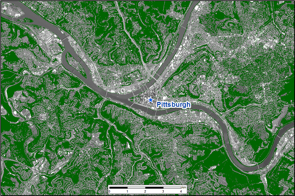
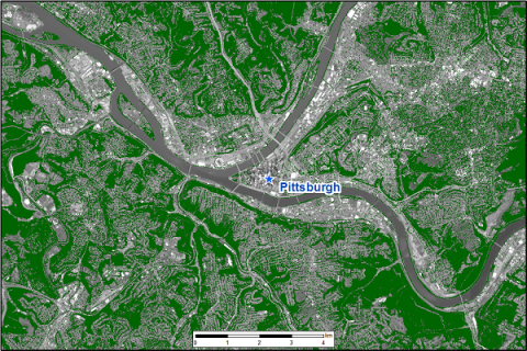
CMS: LiDAR-derived Tree Canopy Cover for States in the Northeast USA
This Carbon Monitoring System (CMS) dataset has been updated to include 1 m tree canopy cover for Delaware (year 2014) and Maryland (year 2013), which was previously available for only Pennsylvania. The data were derived with a rules-based expert system that facilitated the integration of leaf-on Light Detection and Ranging (LiDAR) and imagery data into a single classification workflow.
NASA's CMS program is designed to make significant contributions in characterizing, quantifying, understanding, and predicting the evolution of global carbon sources and sinks through improved monitoring of carbon stocks and fluxes. See all ORNL DAAC data from the CMS.
Data Citation: O'Neil-Dunne, J. 2019. CMS: LiDAR-derived Tree Canopy Cover for States in the Northeast USA. ORNL DAAC, Oak Ridge, Tennessee, USA. https://doi.org/10.3334/ORNLDAAC/1334
Data Center: ORNL DAAC
Sponsor: EOSDIS


