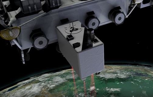
A new learning resource is now available to assist users in exploring the data structure, variables, and quality flags of the GEDI L4A Footprint Level Aboveground Biomass Density, Version 1 dataset:
Exploring GEDI L4A Data Structure
This Jupyter Notebook tutorial aims to illustrate how to work with the aboveground biomass density (AGBD, in Mg/ha) estimates and associated uncertainty within each sampled geolocated laser footprint.
If your like this resource, you might be interested in others available from our Learning Resources Page.
Citation: Dubayah, R.O., J. Armston, J.R. Kellner, L. Duncanson, S.P. Healey, P.L. Patterson, S. Hancock, H. Tang, M.A. Hofton, J.B. Blair, and S.B. Luthcke. 2021. GEDI L4A Footprint Level Aboveground Biomass Density, Version 1. ORNL DAAC, Oak Ridge, Tennessee, USA. https://doi.org/10.3334/ORNLDAAC/1907

