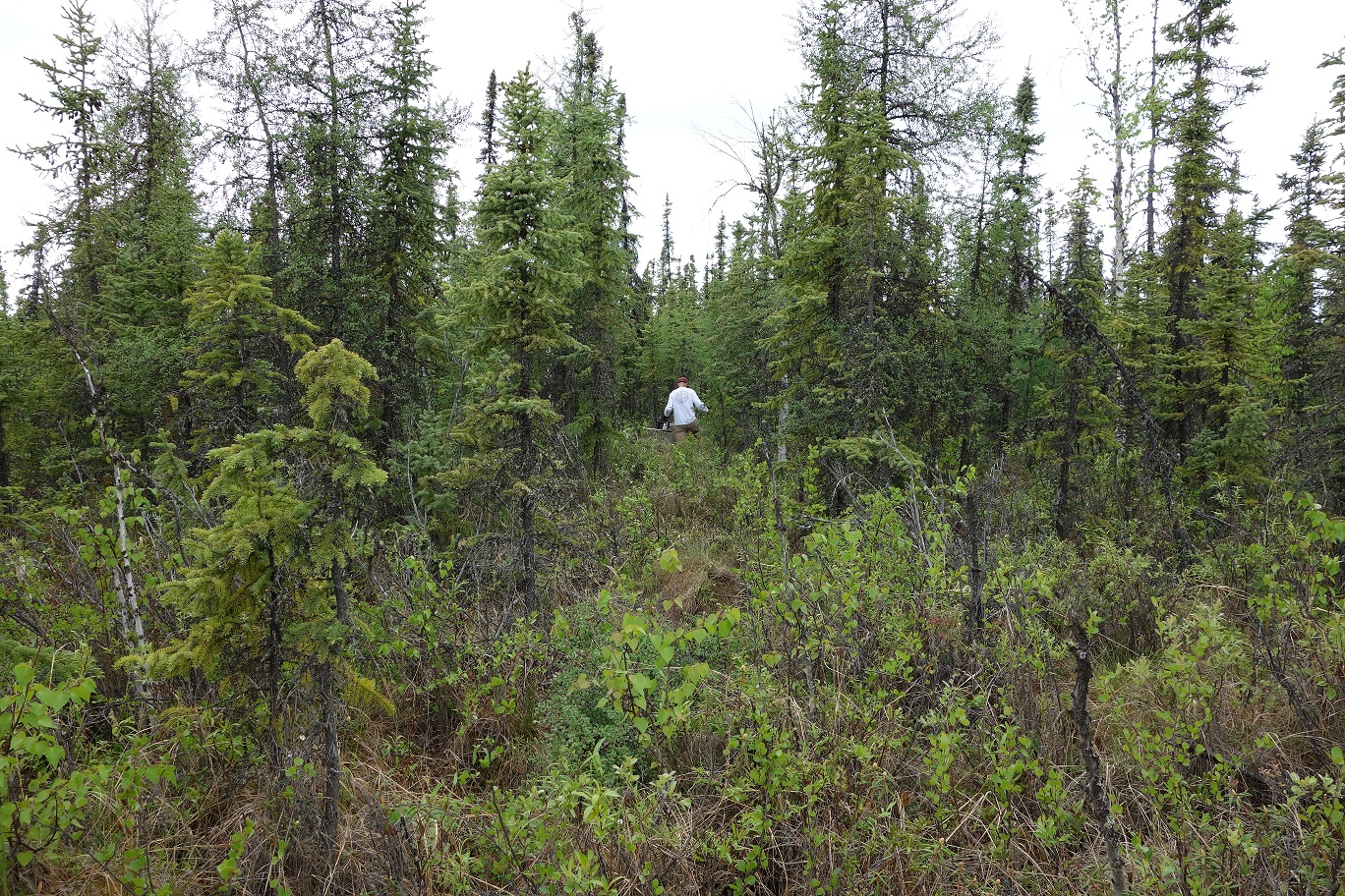
Two new datasets are available from the Arctic-Boreal Vulnerability Experiment (ABoVE) that were collected during an on-going, five-year research project conducted at a variety of sites near Fairbanks, Alaska, including the US Army Corps of Engineers, Cold Regions Research and Engineering Laboratory (CRREL).
ABoVE: Soil Active Layer Thaw Depths at CRREL sites near Fairbanks, Alaska, 2014-2018
This dataset provides soil active layer thaw depth measurements collected along transects at three sites during the late summers of 2014-2018. The sites were located at Creamer's Field, the Permafrost Tunnel, and Farmer's Loop (two transects). Vegetation ecotypes along the transects are also reported.
Data Citation: Douglas, T.A. 2019. ABoVE: Soil Active Layer Thaw Depths at CRREL sites near Fairbanks, Alaska, 2014-2018. ORNL DAAC, Oak Ridge, Tennessee, USA. https://doi.org/10.3334/ORNLDAAC/1701
ABoVE: End of Season Snow Depth at CRREL sites near Fairbanks, Alaska, 2014-2019
This dataset provides 20,582 measurements of snow depth collected at six sites during March or April from 2014-2019. The sites were located at or near Goldstream, Creamer's Field, APEX, the Permafrost Tunnel, and Farmer's Loop.
Data Citation: Douglas, T.A., C.A. Hiemstra, and A.J. Barker. 2019. ABoVE: End of Season Snow Depth at CRREL sites near Fairbanks, Alaska, 2014-2019. ORNL DAAC, Oak Ridge, Tennessee, USA. https://doi.org/10.3334/ORNLDAAC/1702
ABoVE is a NASA Terrestrial Ecology Program field campaign that links field-based, process-level studies with geospatial data products derived from airborne and satellite sensors to provide a foundation for improving the analysis and modeling capabilities needed to understand climate change in the Arctic and Boreal regions. See all ORNL DAAC data from ABoVE.


