
Documentation for the MODIS Collection 5 Land Products Subsets Web Service and the MODIS Collection 5 Fixed Sites Subsetting and Visualization Tool are now available online at the ORNL DAAC.
The MODIS subsets Web service provides data access capabilities for Moderate Resolution Imaging Spectroradiometer (MODIS) Collection 5 subsets through standards based SOAP (Simple Object Access Protocol) Web service. Through the Web service users can obtain data access functions to execute on their local computing resources. The MODIS Web service is built on ORNL DAAC's MODIS Global Subsetting and Visualization Tool that provides customized subsets and visualization of MODIS land products for any location on the globe.
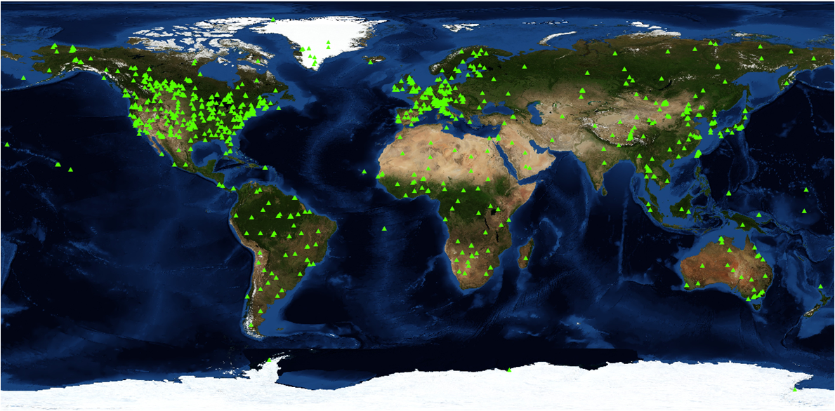
The MODIS Collection 5 Fixed Sites Subsetting and Visualization Tool provides customized subsets and visualizations of several MODIS Collection 5 land products for more than 1,100 selected field and flux tower sites around the world. Spatial subsets of the land products are available for predefined 7 X 7-km areas centered on the selected sites.
