
The ORNL DAAC recently released the following Arctic-Boreal Vulnerability Experiment (ABoVE) dataset by Shimada, J.G., et al. (2021):
ABoVE: Aerial Photographs of Frozen Lakes near Fairbanks, Alaska, October 2014
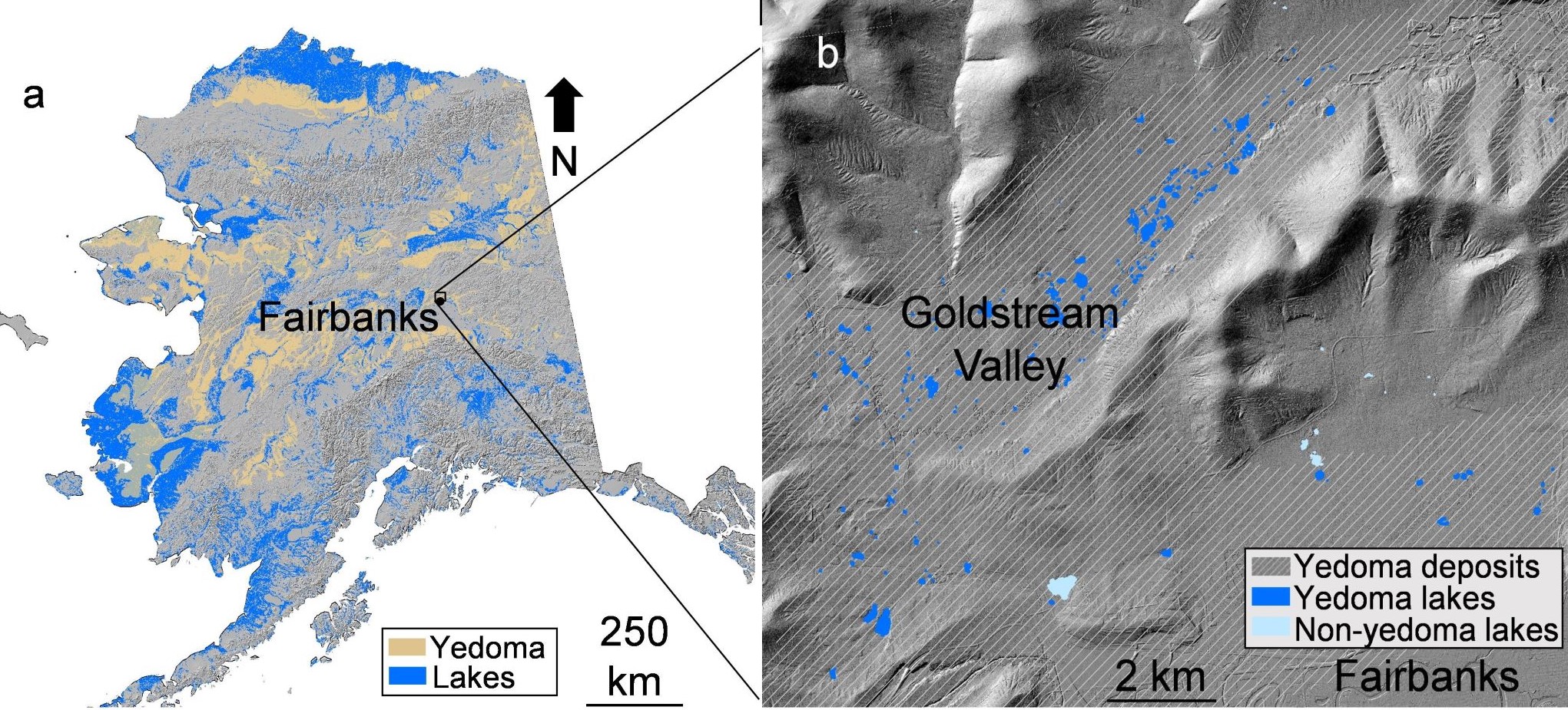
This dataset includes high resolution orthophotographs of 21 lakes in the region of Fairbanks, Alaska, USA. Aerial photographs were taken on October 8, 2014, three days after lake-ice formation. These photographs were used to identify open holes in lake ice that indicate the location of hotspot seeps associated with the releases of methane from thawing permafrost. This landscape in this study area has an abundance of wetlands despite relatively low precipitation. Aerial photography can be used to measure changes in lake areas and to observe patterns in the formation of lake ice and other early winter lake conditions.
The ABoVE is a NASA Terrestrial Ecology Program field campaign being conducted in Alaska and western Canada, for 8 to 10 years, starting in 2015. Research for ABoVE links field-based, process-level studies with geospatial data products derived from airborne and satellite sensors, providing a foundation for improving the analysis, and modeling capabilities needed to understand and predict ecosystem responses to, and societal implications of, climate change in the Arctic and Boreal regions.
Additional data from ABoVE and other relevant links can be found on the ORNL DAAC's ABoVE Project Page.
Citation: Anthony, K.W., P. Lindgren, P. Hanke, J. Cherry, and M.J. Engram. 2021. ABoVE: Aerial Photographs of Frozen Lakes near Fairbanks, Alaska, October 2014. ORNL DAAC, Oak Ridge, Tennessee, USA. https://doi.org/10.3334/ORNLDAAC/1845