
The ORNL DAAC recently released version 2 of the following Arctic-Boreal Vulnerability Experiment (ABoVE) dataset by Schaefer, K. et al. (2021):
ABoVE: Active Layer Thickness Derived from Airborne L- and P-band SAR, Alaska, 2017
This dataset provides estimates of the seasonal subsidence, active layer thickness (ALT), the vertical soil moisture profile, and uncertainties at a 30 m resolution for 28 sites across the ABoVE domain. The ALT and soil moisture profile retrievals simultaneously used L- and P-band synthetic aperture radar (SAR) data acquired by the NASA/JPL Uninhabited Aerial Vehicle Synthetic Aperture Radar (UAVSAR) instruments during the 2017 ABoVE airborne campaign. The dataset also estimates the vertical profile of soil volumetric water content (VWC) from the P-band polarimetric SAR (PolSAR) backscatter acquired in August by Airborne Microwave Observatory of Subcanopy and Subsurface (AirMOSS). The joint retrieval uses seasonal subsidence derived from L-band and P-band backscatter simultaneously to estimate the ALT and vertical soil moisture profile, along with uncertainties.
Produced by the Permafrost Dynamics Observatory (PDO) project in conjunction with the ABoVE campaign, this dataset provides soil moisture and active layer thickness variables that are critical in understanding how permafrost and active layer dynamics respond to climate warming in high-latitude regions.
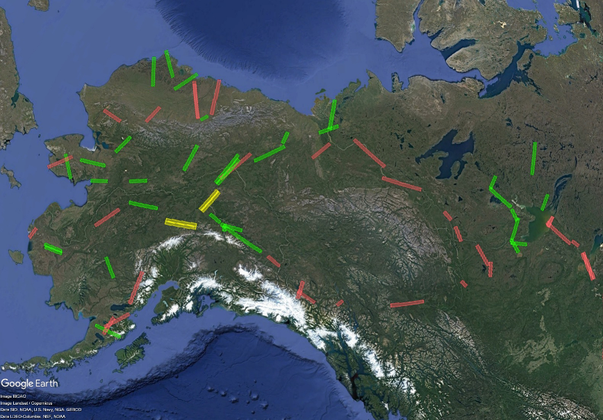
The ABoVE is a NASA Terrestrial Ecology Program field campaign being conducted in Alaska and western Canada, for 8 to 10 years, starting in 2015. Research for ABoVE links field-based, process-level studies with geospatial data products derived from airborne and satellite sensors, providing a foundation for improving the analysis, and modeling capabilities needed to understand and predict ecosystem responses to, and societal implications of, climate change in the Arctic and Boreal regions.
Additional data from ABoVE and other relevant links can be found on the ORNL DAAC's ABoVE Project Page.
Citation: Schaefer, K., R.J. Michaelides, R.H. Chen, T.D. Sullivan, A.D. Parsekian, Y. Zhao, K. Bakian-Dogaheh, A. Tabatabaeenejad, M. Moghaddam, J. Chen, A.C. Chen, L. Liu, and H.A. Zebker. 2021. ABoVE: Active Layer Thickness Derived from Airborne L- and P-band SAR, Alaska, 2017. ORNL DAAC, Oak Ridge, Tennessee, USA. https://doi.org/10.3334/ORNLDAAC/1796