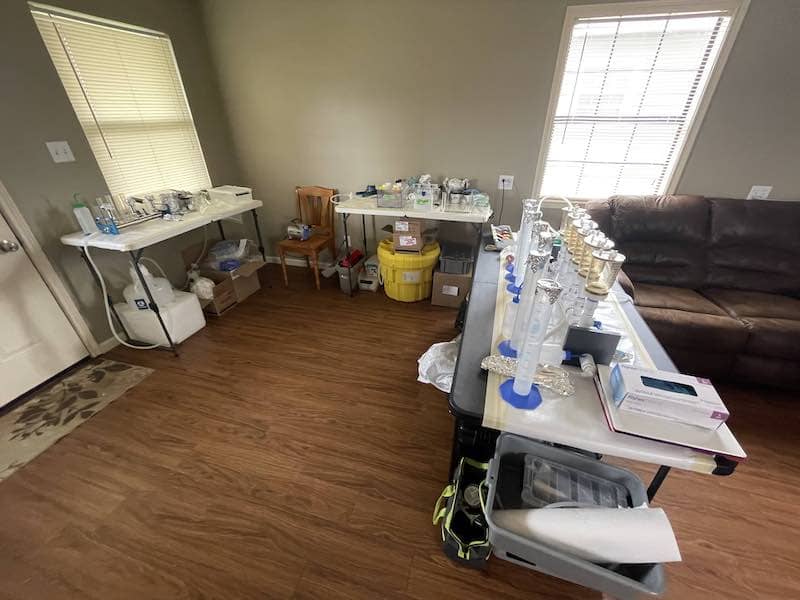
The Delta-X Science Team and the ORNL DAAC are extremely excited to share that the Delta-X Spring Campaign is now underway.
After months of delays due to the circumstances surrounding the pandemic, the Spring 2021 campaign kicked off in March. You can follow daily activities through the Delta-X teams blog.
The Delta-X interdisciplinary science team includes ecologists, remote sensing scientists, hydrologists, geomorphologists, and more, to combine airborne imaging, field data collection, and modeling in a multi-disciplinary study that encompasses hydrology, sedimentology, geomorphology, and ecology.
The Delta-X mission is a 5-year NASA Earth Venture Suborbital-3 mission to study the Mississippi River Delta in the United States, which is growing and sinking in different areas. River deltas and their wetlands are drowning as a result of sea level rise and reduced sediment inputs. The Delta-X mission will determine which parts will survive and continue to grow, and which parts will be lost. Delta-X begins with airborne and in situ data acquisition and carries through data analysis, model integration, and validation to predict the extent and spatial patterns of future deltaic land loss or gain.
All fourteen Data products from the 2016 Pre-Delta-X Demonstration Campaign are available now, data collection for the Delta-X Mission began in the Spring of 2021.

