
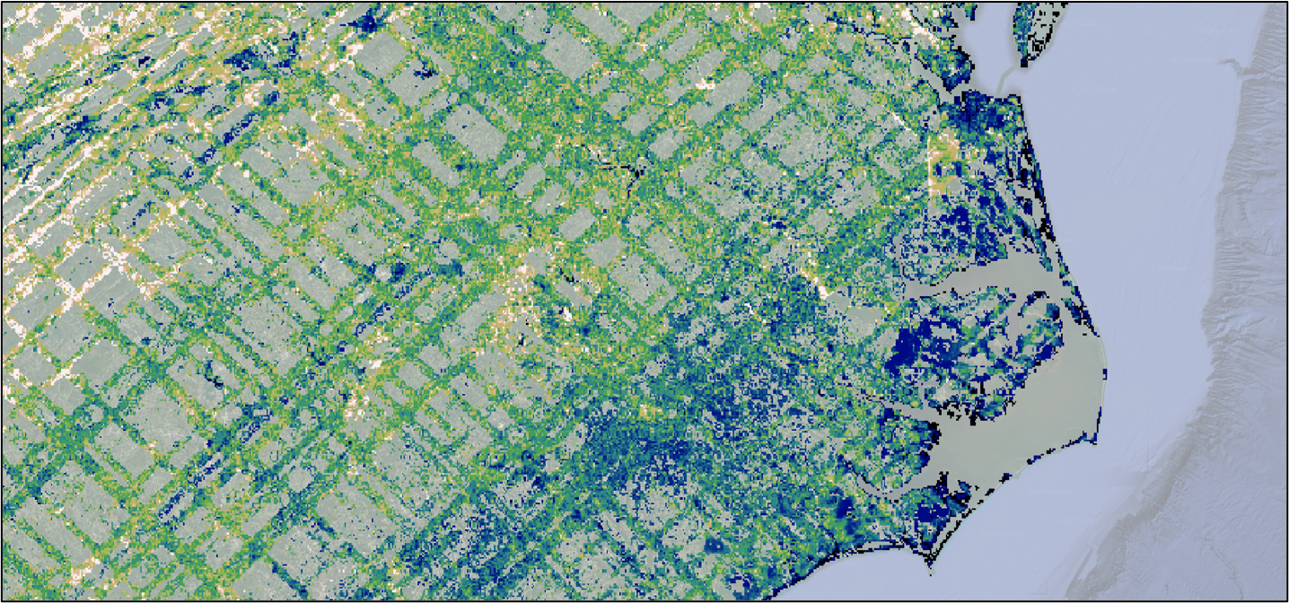
The recently-released Global Ecosystem Dynamics Investigation (GEDI) Level 4B data, which provide gridded 1km X 1km estimates of mean aboveground biomass density (AGBD) based on observations from the International Space Station is highlighted in a new article published on the NASA Earthdata Website.
GEDI L4B Gridded Aboveground Biomass Density, Version 2
This latest dataset from the GEDI mission provides gridded estimates of aboveground biomass density at a greater accuracy and resolution than previously available, read the article through this link to the Earthdata Website.
The Global Ecosystems Dynamics Investigation produces high resolution laser ranging observations of the 3D structure of the Earth. GEDI’s precise measurements of forest canopy height, canopy vertical structure, and surface elevation greatly advance our ability to characterize important carbon and water cycling processes, biodiversity, and habitat. GEDI was funded as a NASA Earth Ventures Instrument (EVI) mission. It was launched to the International Space Station in December 2018 and completed initial orbit checkout in April 2019.
Additional data from the GEDI mission can be found on the ORNL DAAC's GEDI Project Page (Levels 3 and 4) and through the Land Processes DAAC's GEDI Data Catalog (Levels 1 and 2).
Citation: Dubayah, R.O., J. Armston, S.P. Healey, Z. Yang, P.L. Patterson, S. Saarela, G. Stahl, L. Duncanson, and J.R. Kellner. 2022. GEDI L4B Gridded Aboveground Biomass Density, Version 2. ORNL DAAC, Oak Ridge, Tennessee, USA. https://doi.org/10.3334/ORNLDAAC/2017